Zaandam to Haarlem to Oude Wettering to Nieuwe Meer and back to Zaandam.


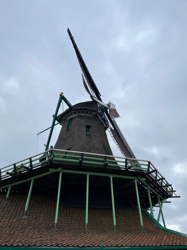


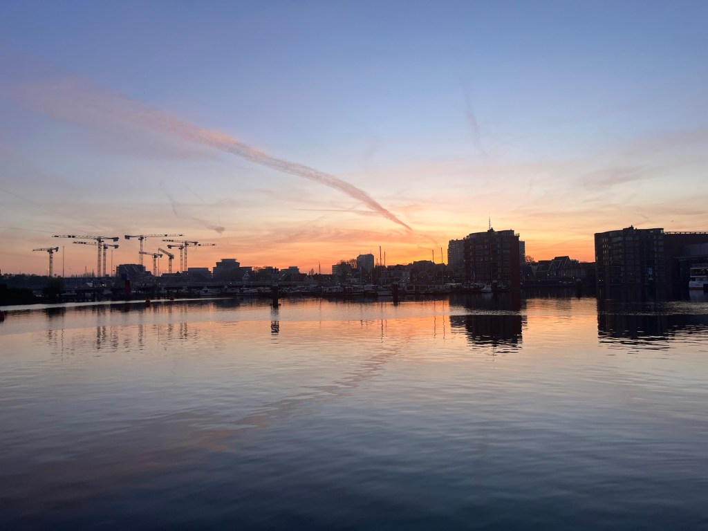

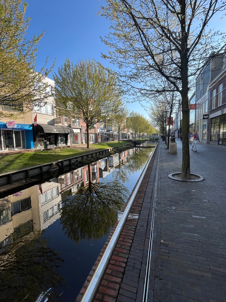
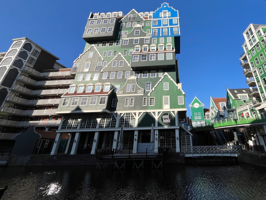
Zaandam to Haarlem to Oude Wettering to Nieuwe Meer and back to Zaandam.
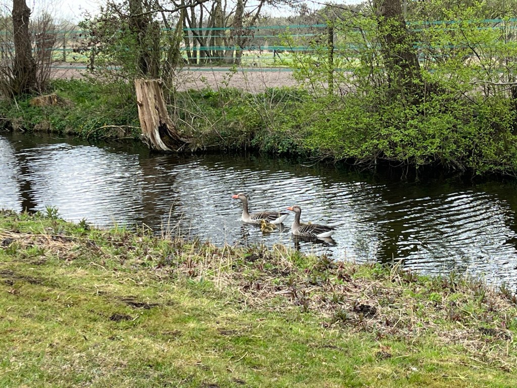
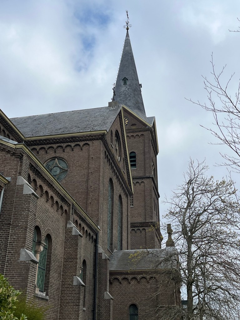
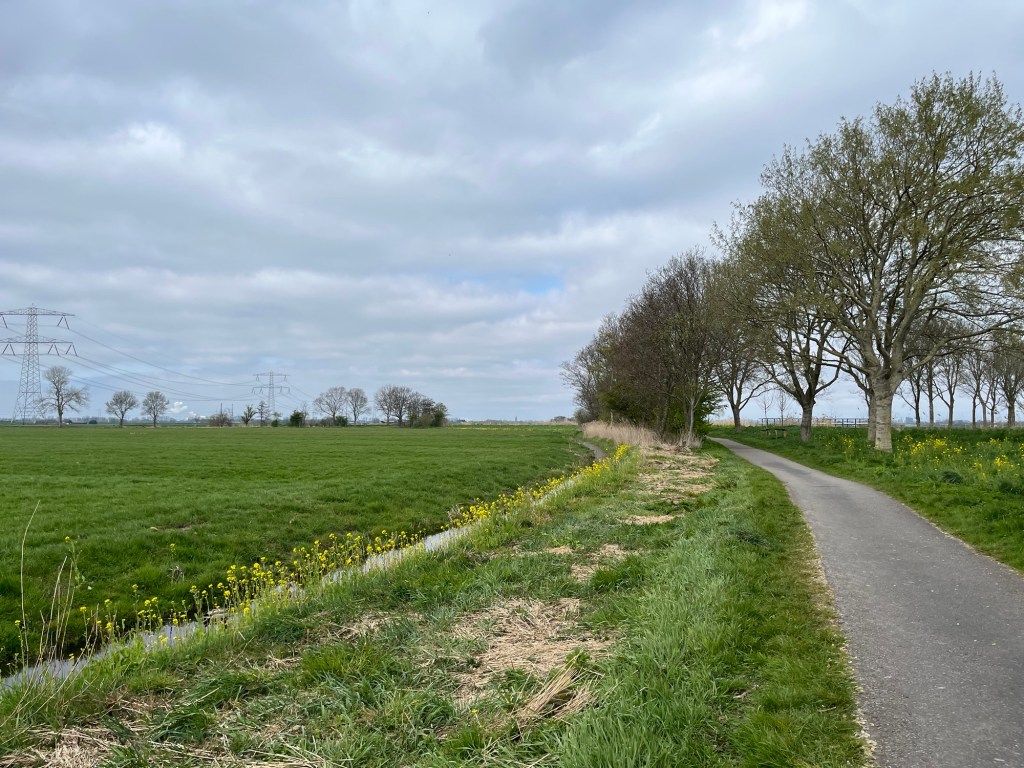
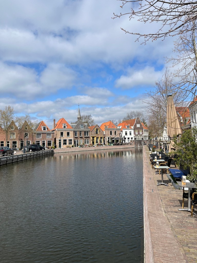
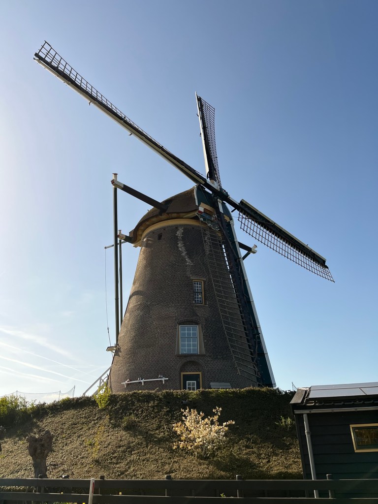
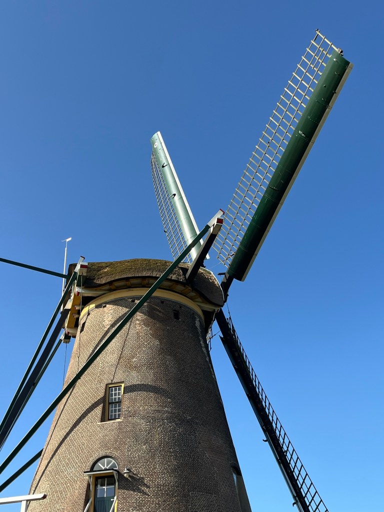
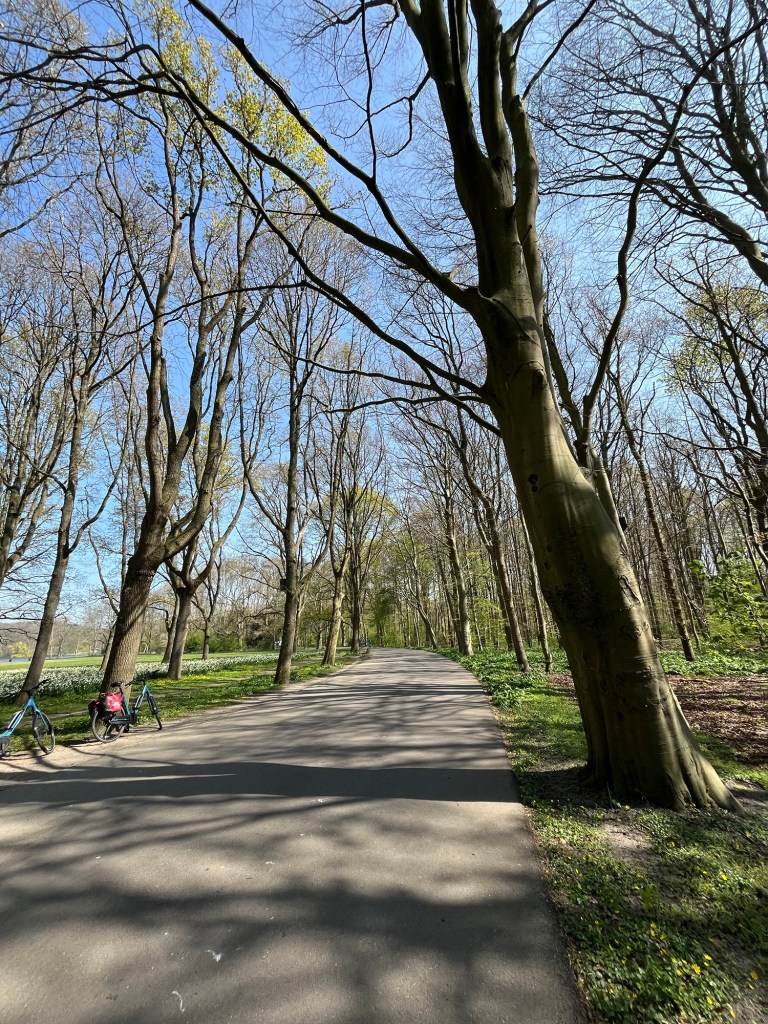
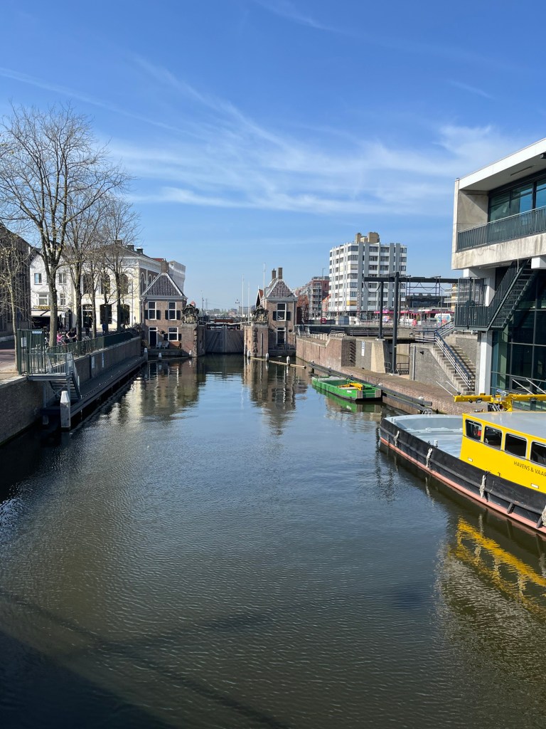
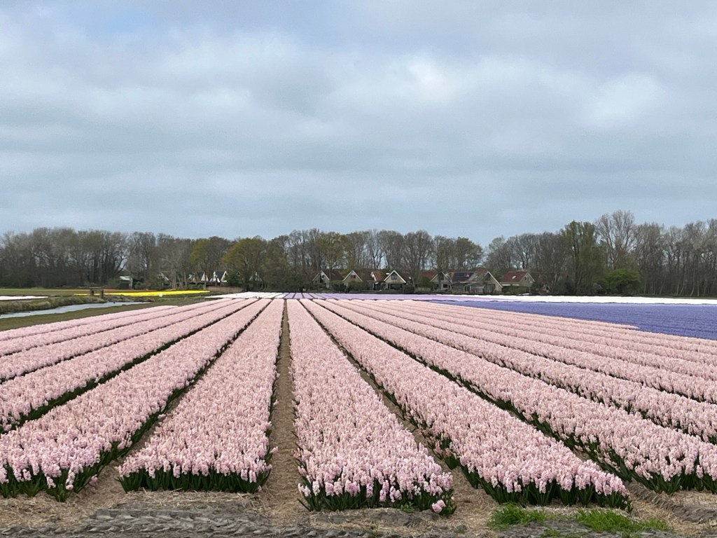
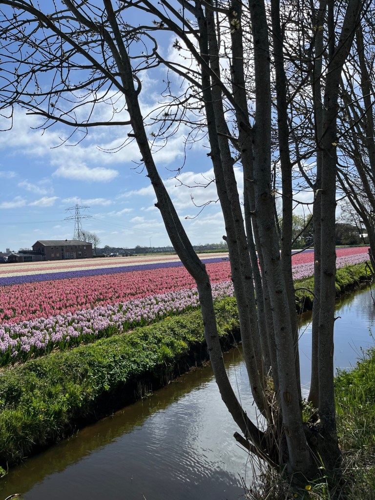
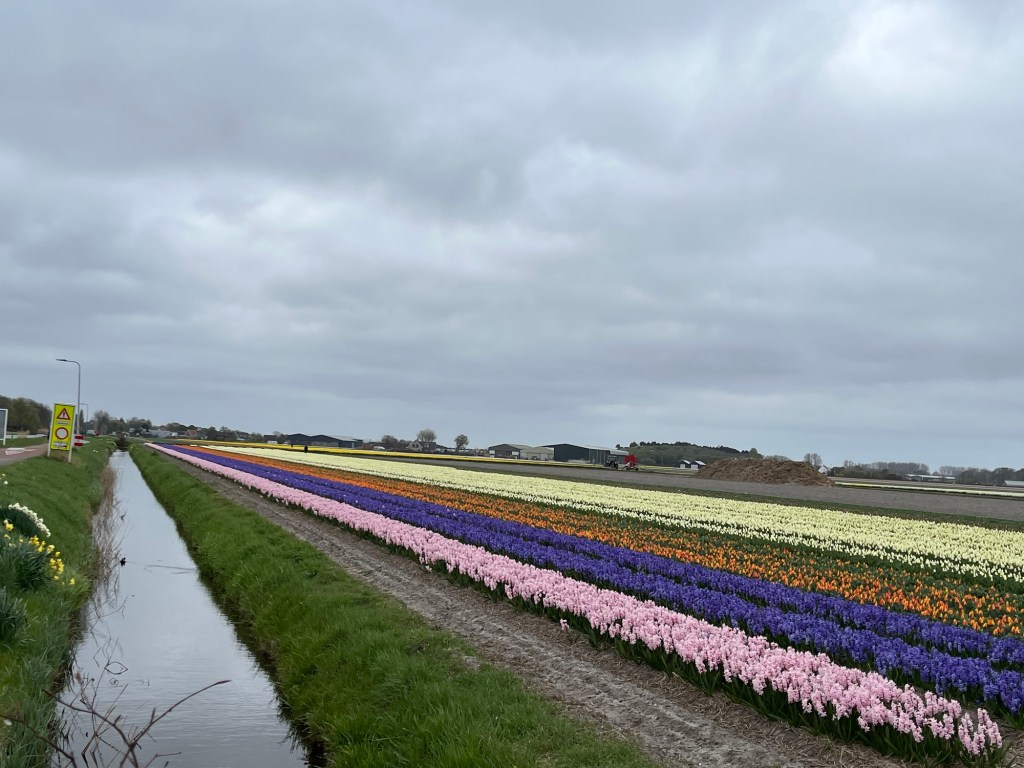
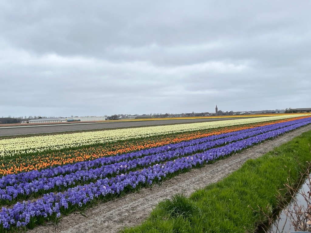
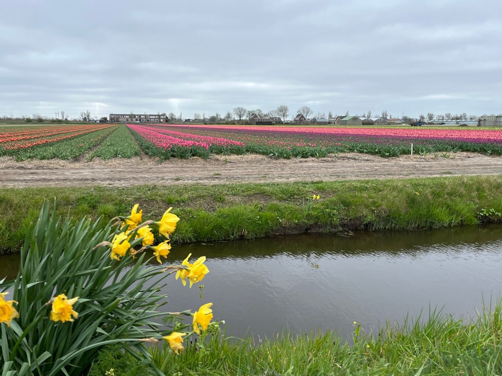
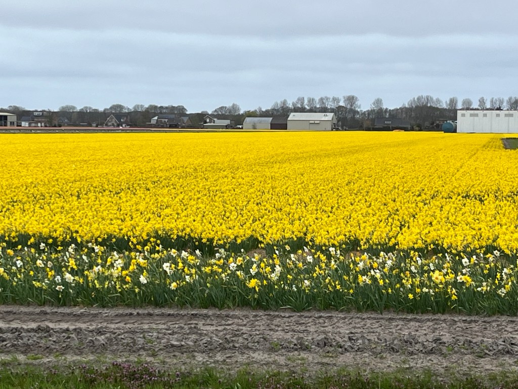
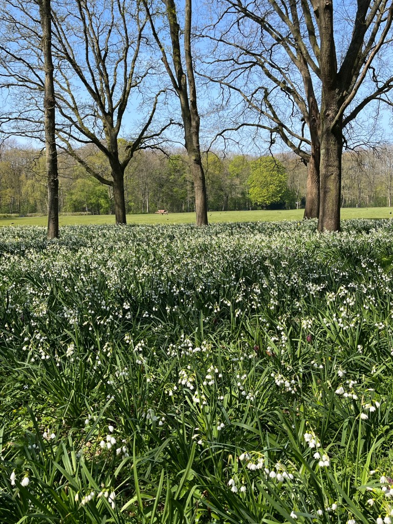
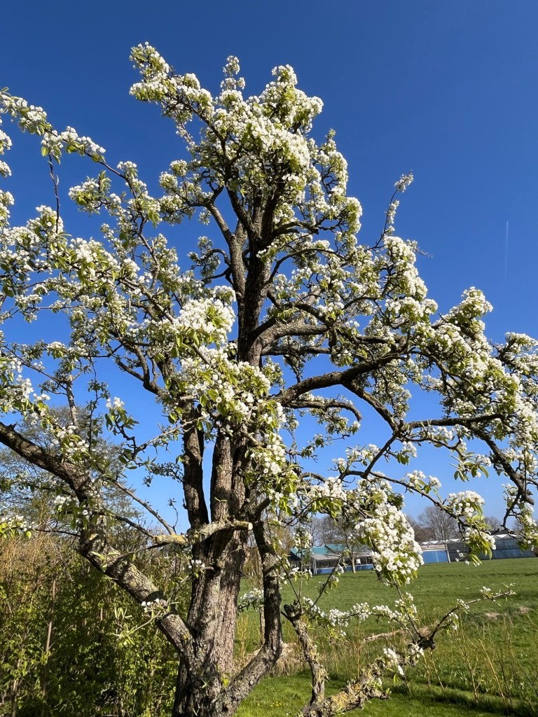
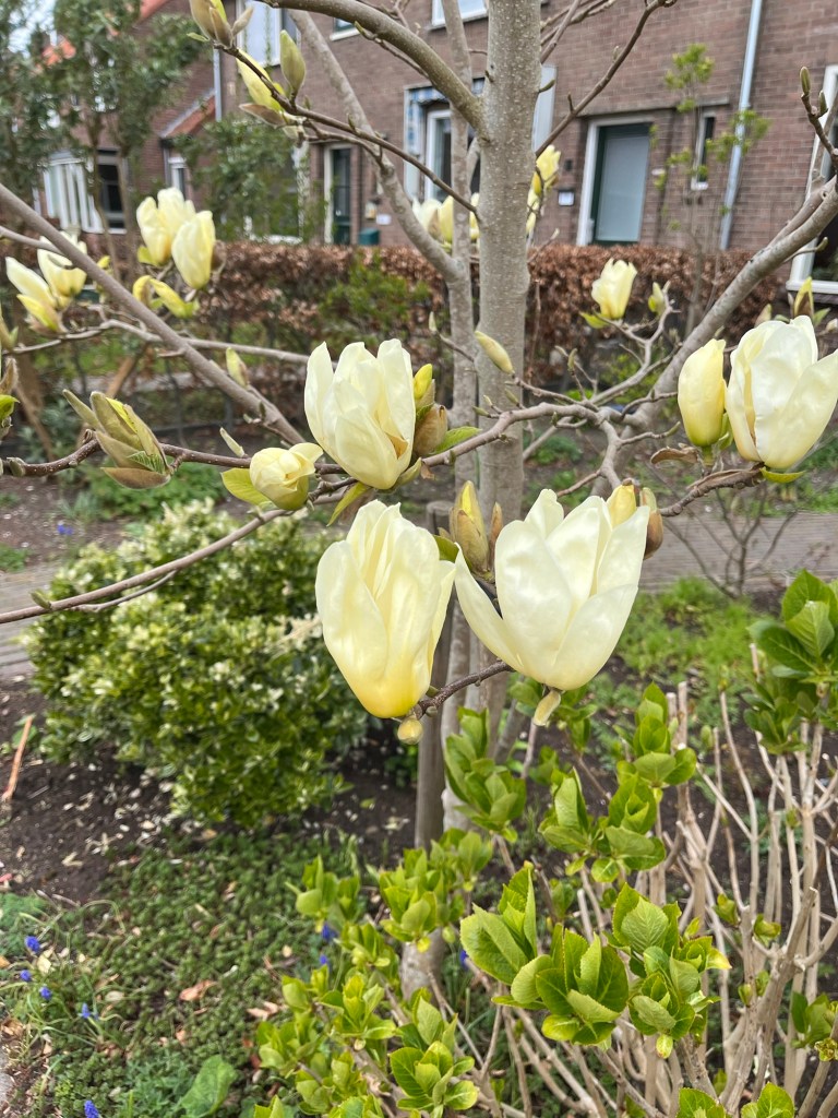
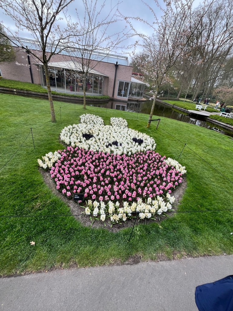
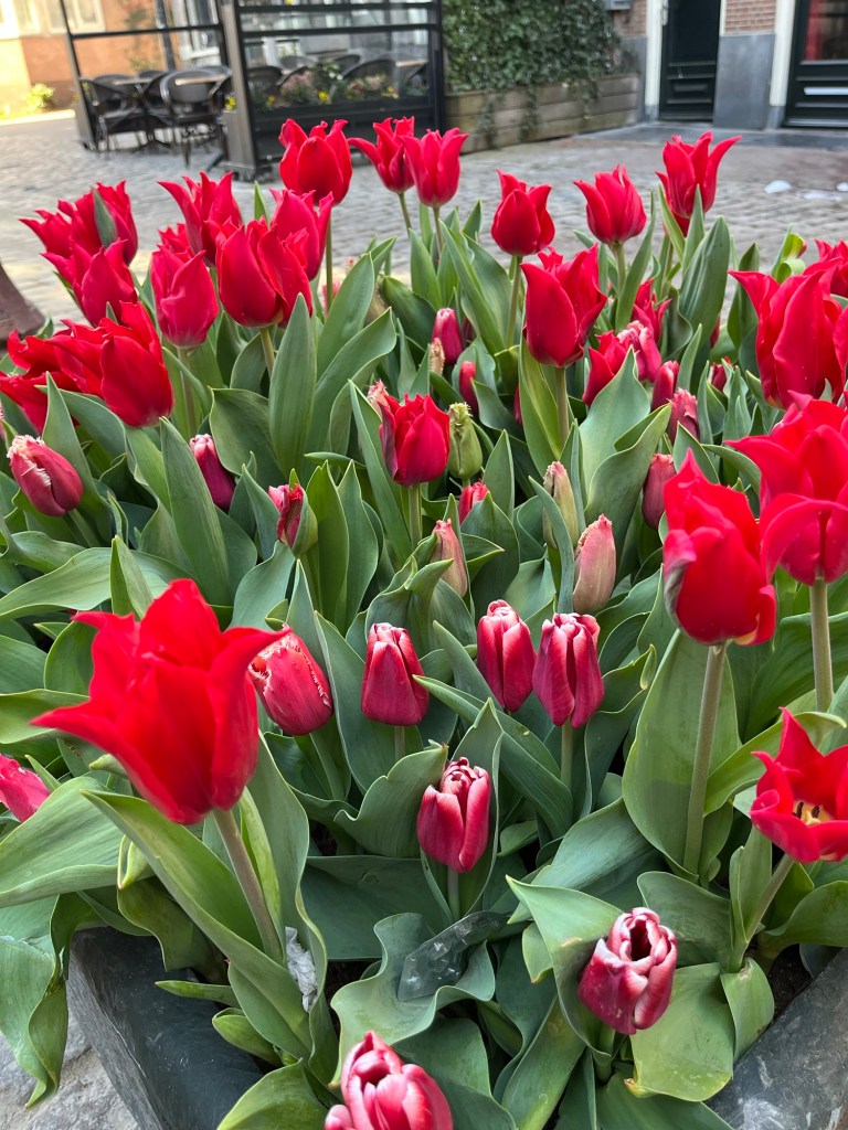
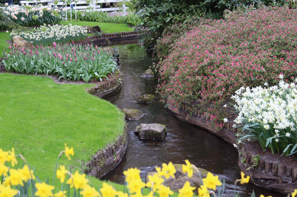
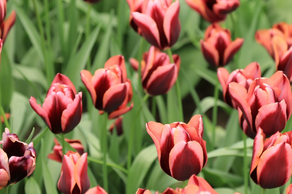
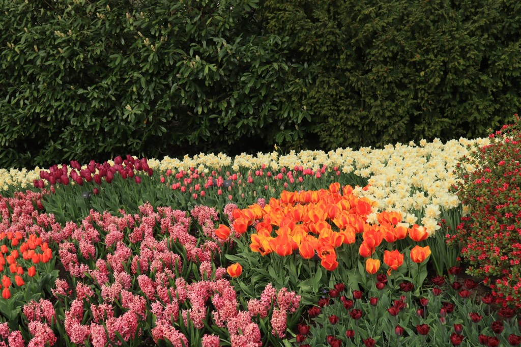
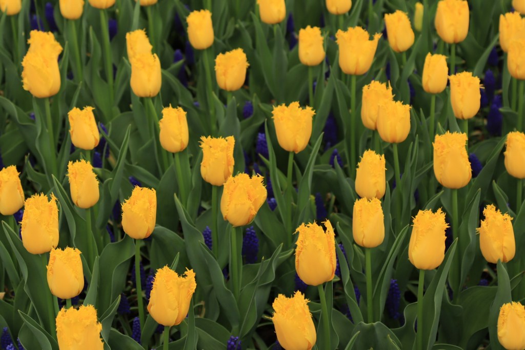
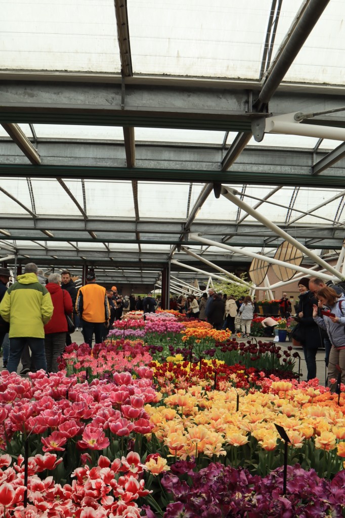
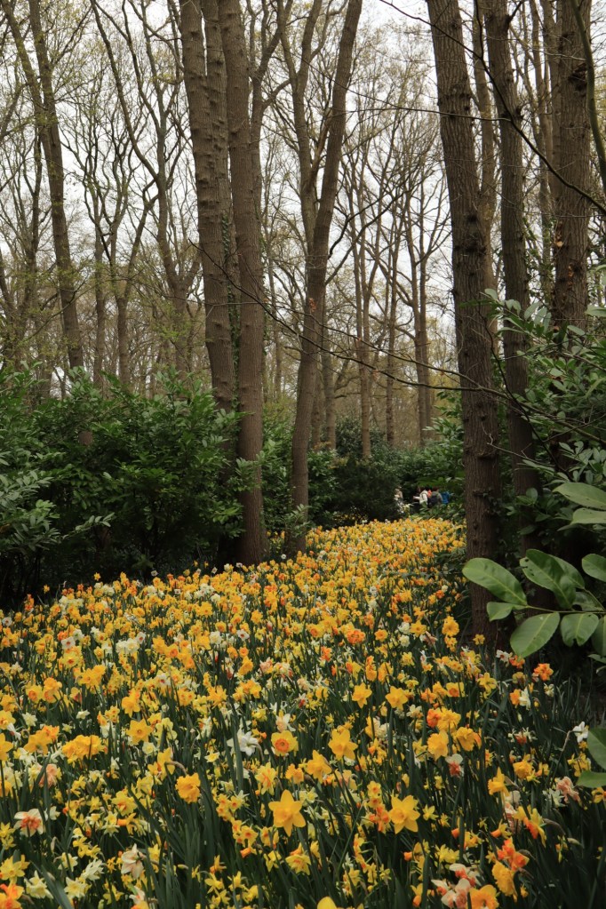
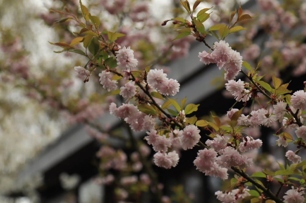
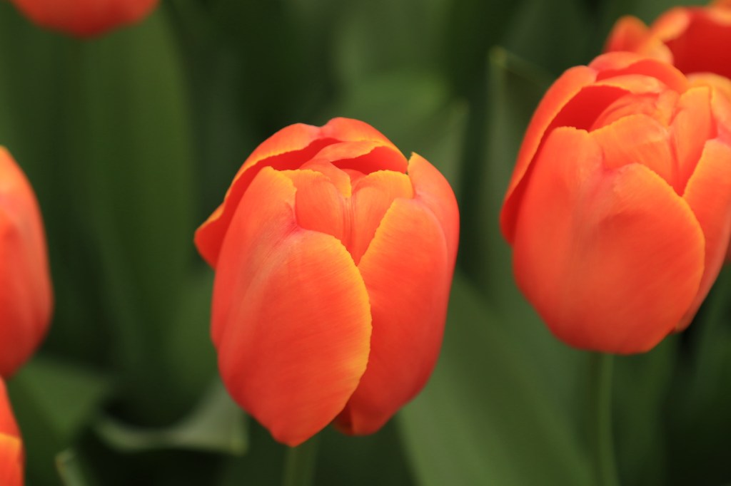
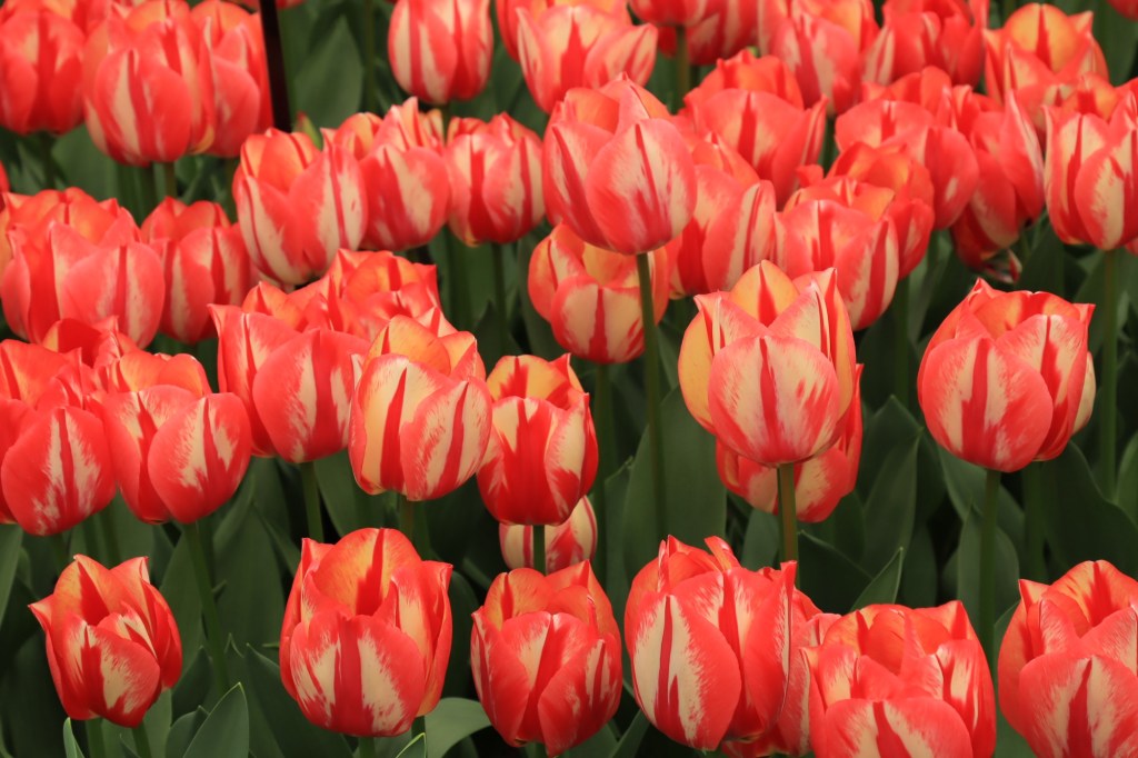
We took a spring trip to the Netherlands that was timed perfectly to see oodles of flowers! We biked all over (highly recommended, the country is set up for biking and no one tries to run you off the roads). These pictures were taken south of Haarlem and on to the Keukenhof. The Keukenhof is probably the most famous flower park.


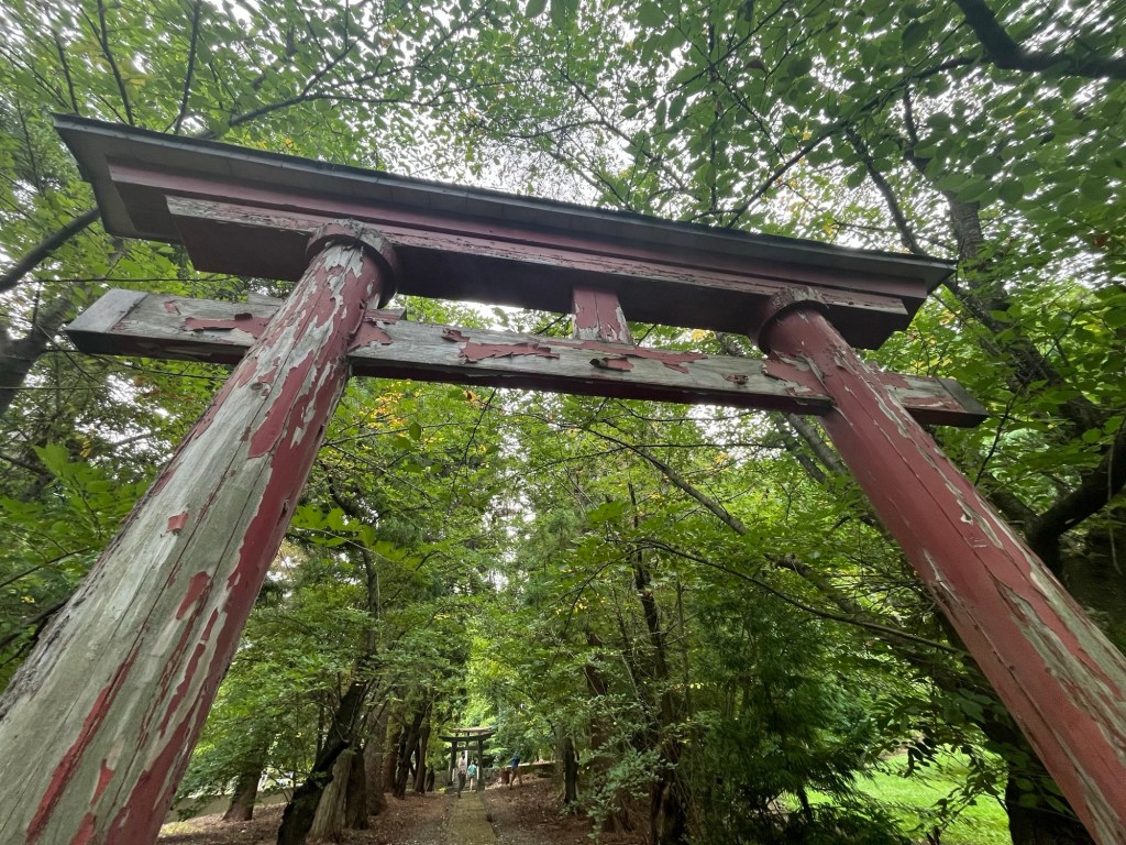
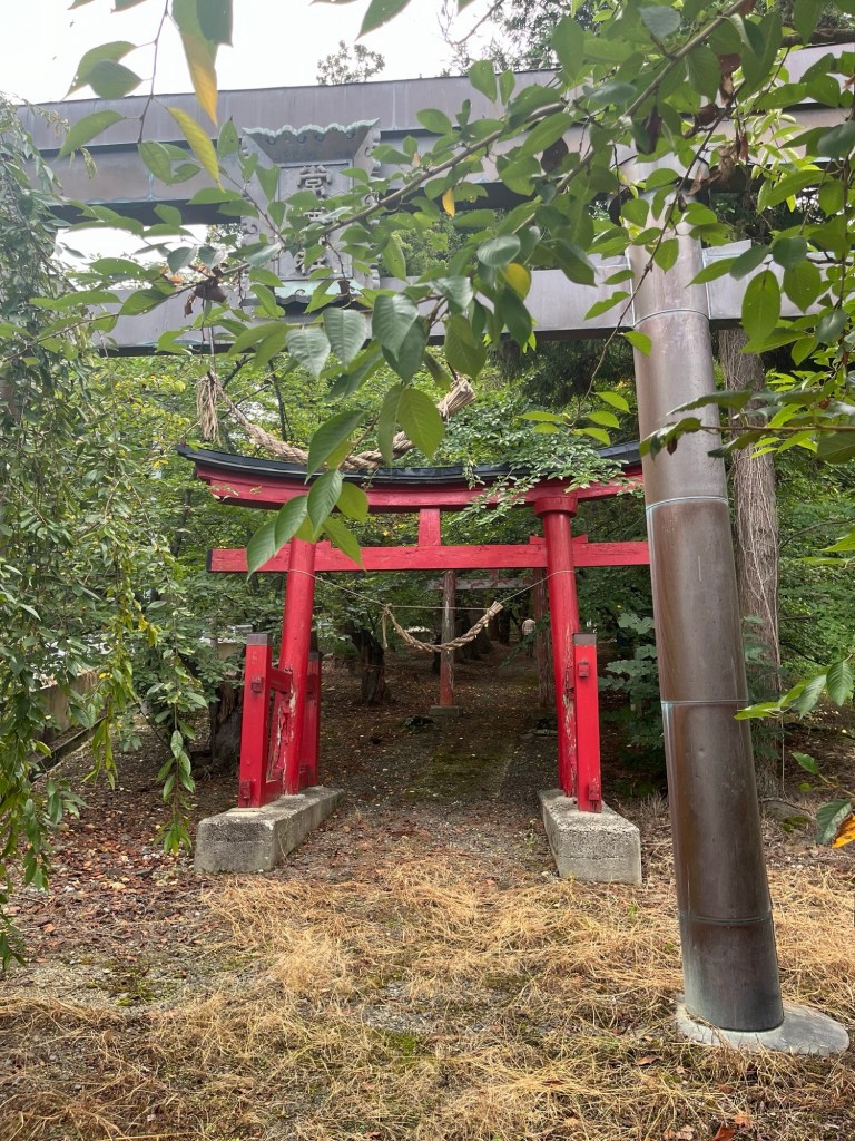
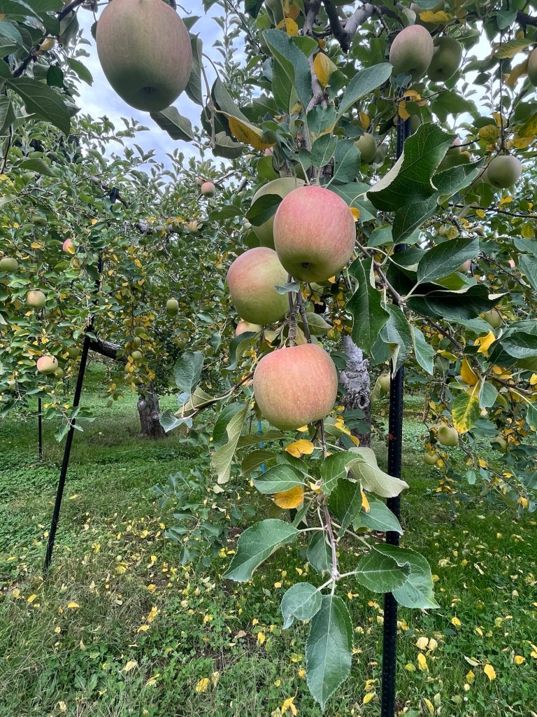
A small Shinto shrine in northern Honshu, Japan. An ancient shrine site, it celebrated the hunt and harvest. Aomori is the primary Apple growing region in Japan.


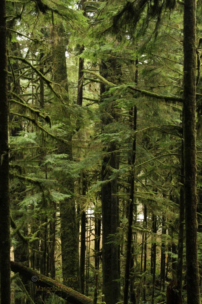
The Olympic Peninsula in Washington is such a unique and beautiful area. The Dagobah-like area sports beautiful waterfalls, dense trees, and ubiquitous moss. The Hoh Rainforest is a beautiful area, and has some interesting wildlife, including the Roosevelt elk.
Roosevelt elk (Cervus elephaus roosevelti) is the largest of the 4 subspecies of elk. There is a large population in the Hoh rainforest, as well as a smaller population in Alaska near Kodiak Island (the Alaskan elk originate from 8 Hoh rainforest elk calves that were transplanted in the late 1920s to replenish a historic population; an additional herd was sent north again in the 1980s). Roosevelt elk tend to have darker hair than Rocky Mountain elk and larger antlers. Their name comes from President Theodore Roosevelt, who designated the Hoh rainforest area a National Monument in the early 1900s to protect the elk herds in the area. The National Monument later became Olympic National Park.
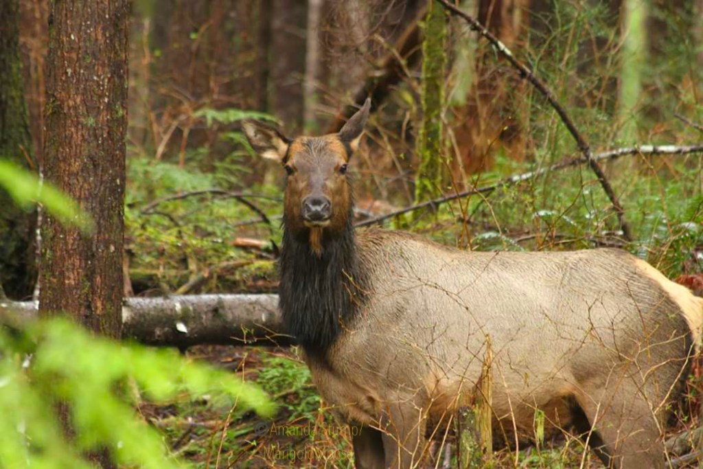
We saw this doe (oops, they’re called cows if they’re elk, apparently) from our car, it was a complete chance encounter. I was hoping to see some of the herd, and after hiking for a couple hours we decided the rain was getting too heavy and called it for the day. Just after we packed up and started driving, we turned a corner and saw this elk standing on a hillside. You can see her coat is pretty soaked from the rain. As we saw her in the spring, I have to wonder if she was pregnant or just very well-fed (there’s a lot of vegetation for them to graze in the rainforest!) She gave us a couple seconds of viewing before she went on her way. She definitely was stockier than the Rocky Mountain Elk I’m used to seeing.
The Hoh rainforest is about 4 hours west of Seattle. It’s not the easiest area to access, but definitely worth seeing especially if you’re heading back east from the coast. As it’s a rainforest, it gets almost continual rain in the later fall through early spring. We went in April and it was pleasant temperatures, but yes, lot of rain.
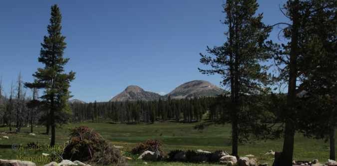
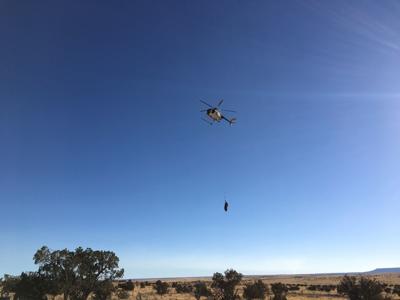
I am really fortunate to live in a state that is encouraging people to go outside (safely) and that I can easily find places that are absolutely empty. Go a little ways off the paved road and you’re pretty much on your own (especially if you go on a weekday). We took the Monday after July 4th off and headed up into the Uinta mountains for some fresh air and cooler temperatures. The Mirror Lake Highway is fully open now, and I will again state my preference for the non-Kamas side of you want solitude.
With no real destination in mind, we decided to visit a couple alpine lakes. Apparently to be called an “alpine lake,” a body of water (reservoir or lake) needs to be located over 5000 feet. This was off of Mirror Lake Highway (FR041), there are quite a few little lakes you can hike to and visit. To be fair, the first “lake” — as it was denoted on forest service maps — was really a natural spring that made a bog-like meadow. I’m not complaining, it was beautiful!
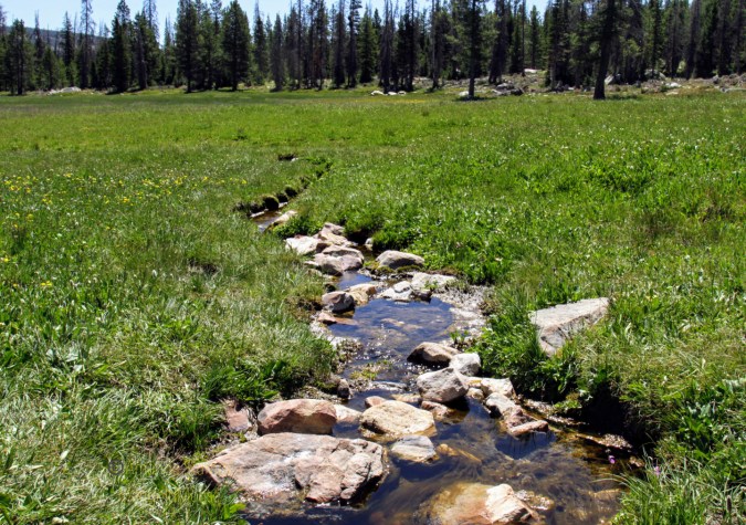
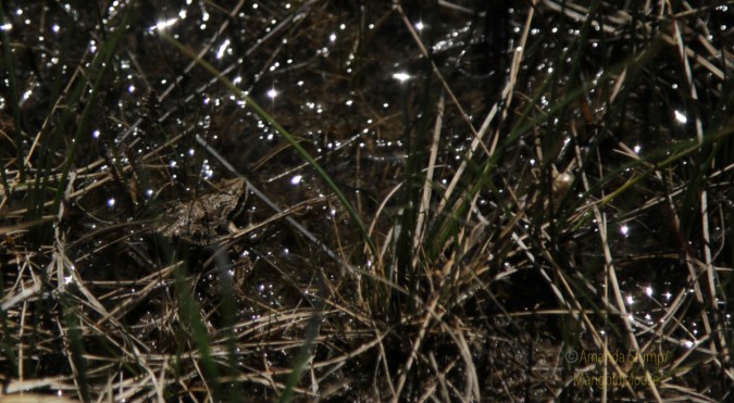
The stream from the spring meanders through the meadow/bog and there are quite a few wildflowers in bloom now. Yes, the water was COLD. I don’t think this spring/stream is named that I could find. There is a nice little primitive camping spot and fire ring (metal) in front of the meadow/bog (see first picture, that’s the camping spot, great view!). Didn’t see any animals here (aside from a frog) but saw lots of deer tracks.
The view is absolutely beautiful. We walked across the meadow/bog, it’s a bit squishy but not too bad.

From the meadow/bog we continued up and visited Haystack Lake (with a view of Haystack Mountain). There are a TON of great camping spots along the east side of the lake. Some kind person has stacked firewood at them as well.

I saw a couple fish jumping, and supposedly the lake has Brook and Cuttroat Trout. Only 2 waterlilies were blooming (yellow ones).
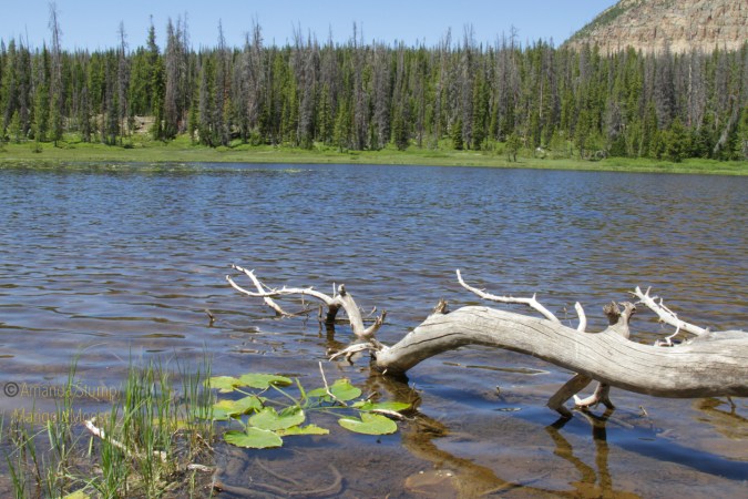

There is a trail around the lake, or you can try to go along the shoreline (it gets pretty mucky). The west side has game trails going up the mountain too. We didn’t see any animals here, but heard something that may have been a moose. Or elk. Also saw moose tracks in the mud.

The only animal I saw was a chipmunk. Still pretty cute. Overall, a nice place for solitude, a little hike, and great scenery.

 Saw this little guy near the Poas Volcano in Costa Rica. I believe it’s a wasp, but I’m not sure on the species. I can ID animals well, but not always insects. If anyone knows please fill me in! 💜
