Wasatch Mountains: Monte Cristo area

Mt. McKinnon, Wasatch Mountains

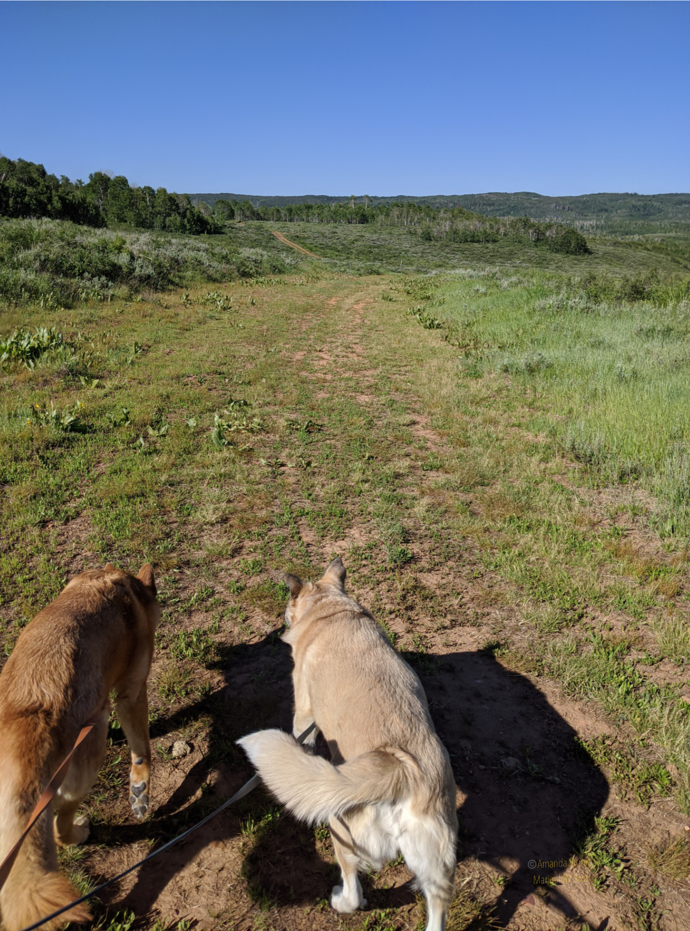
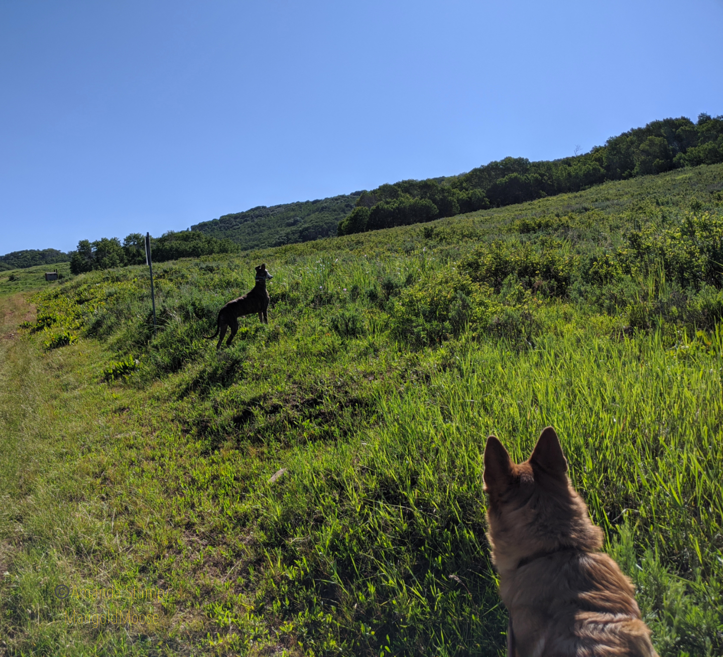
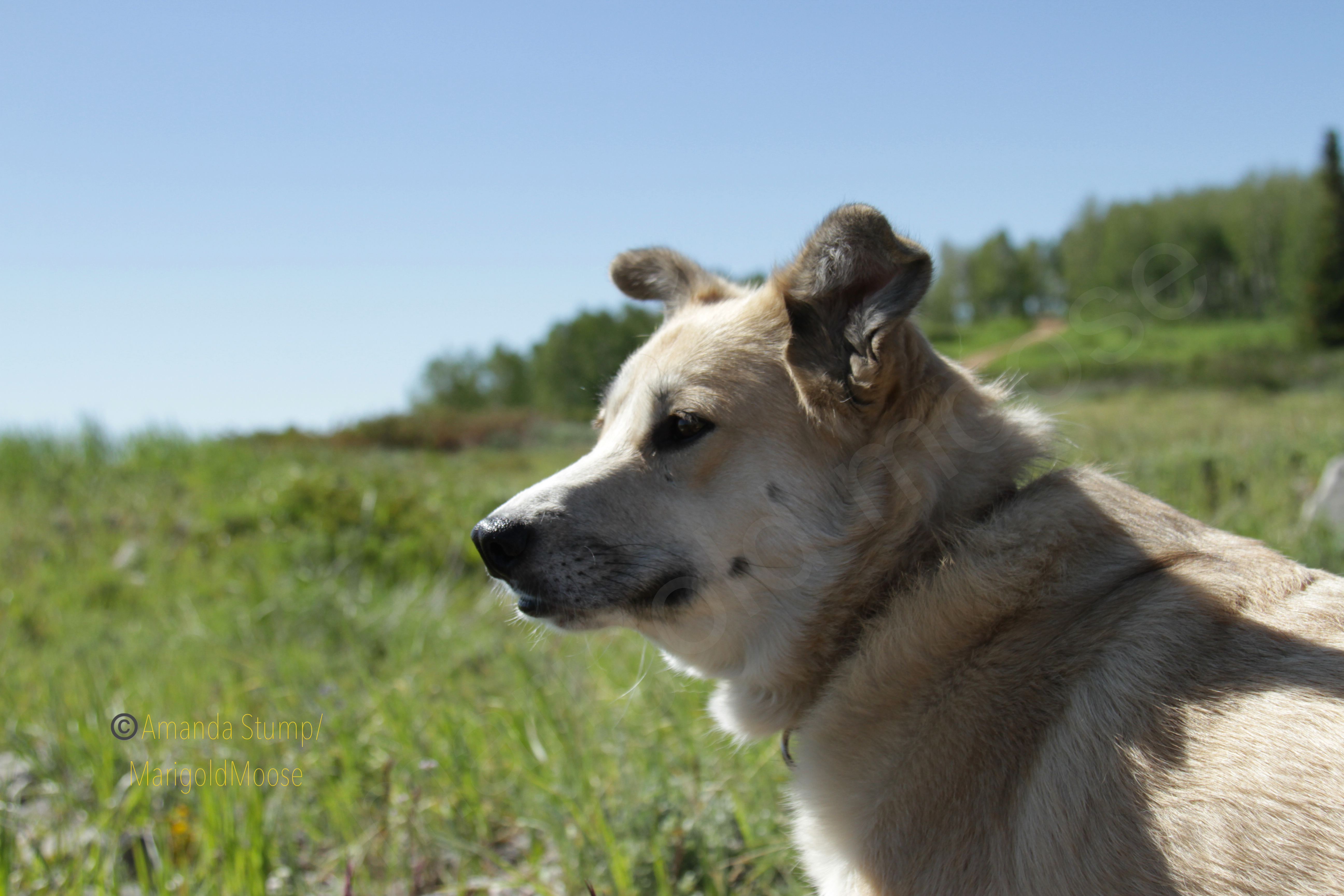
This past summer I took a little drive on my day off. Since I’m always in the Uinta Mountains (it seems), I decided to head up to the Wasatch Mountains this time. And I took all 4 dogs. Since Miss Moose isn’t up for big adventures, we did some short walks and a lot of poking around. I decided on Monte Cristo because I’m always up for food-named places and I heard it was beautiful. It’s northeast of Ogden and it’s usually a good 10-20 degrees colder than the valley. I headed up UT39 and took the dogs for a short run/walk on an ATV trail to get some energy out because enthusiasm levels were high, as you can see in the images below. Disclaimer: my dogs are leashed any time I intend to encounter another person. This was not that place, plus it was 7 am so you can see Reina is roaming.

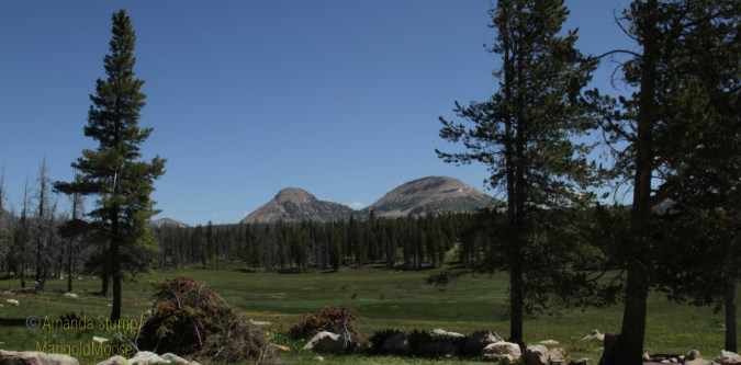
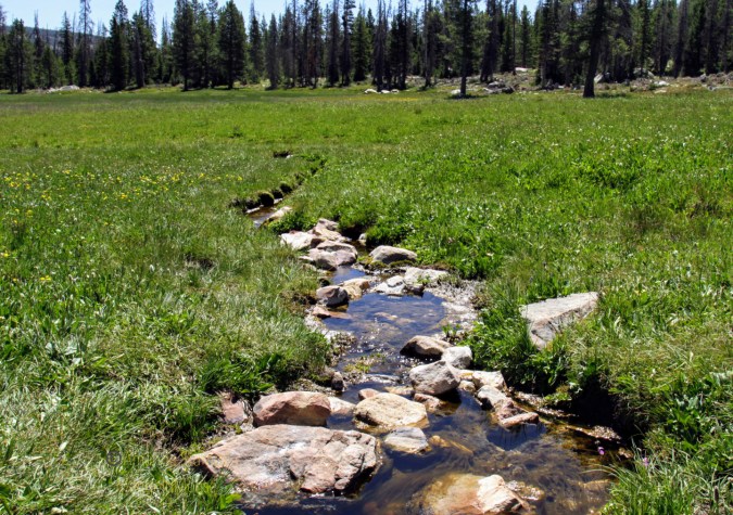
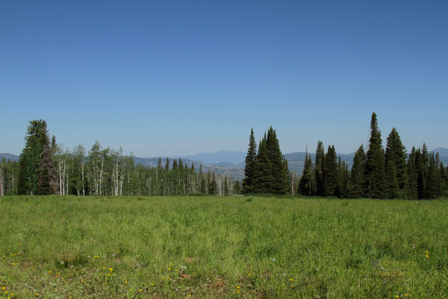
The views driving on UT39 are gorgeous. You can overlook the Ogden Valley and get some amazingly beautiful views. Not many pictures, though, as there aren’t a ton of places to stop and I was driving so no “ shoot out the window and hope it turns out” shots. I did find a nice pull off to experience the beautiful summer mountain flowers. I think those blue flowers below are a type of bellflower. Pretty meadows also give way to mountain landscapes. It’s definitely a great place for nature photography, if the valley inversions behave themselves. There was a bit of haze when I went out, but overall the view was pretty clear.

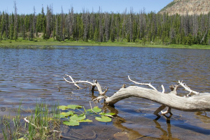
The girls had a lot of fun both poking around the hillsides and exploring. Dogs are welcome as it’s National Forest, just observe basic trail etiquette. Mt. McKinnon is the high point in the area, and again, the views are gorgeous. We ended up sitting on the side of the mountain for a little bit (Miss Moose mandated it) and just relaxing. We went on a weekday and it was fairly empty, though the campground fills up quickly in the summer.

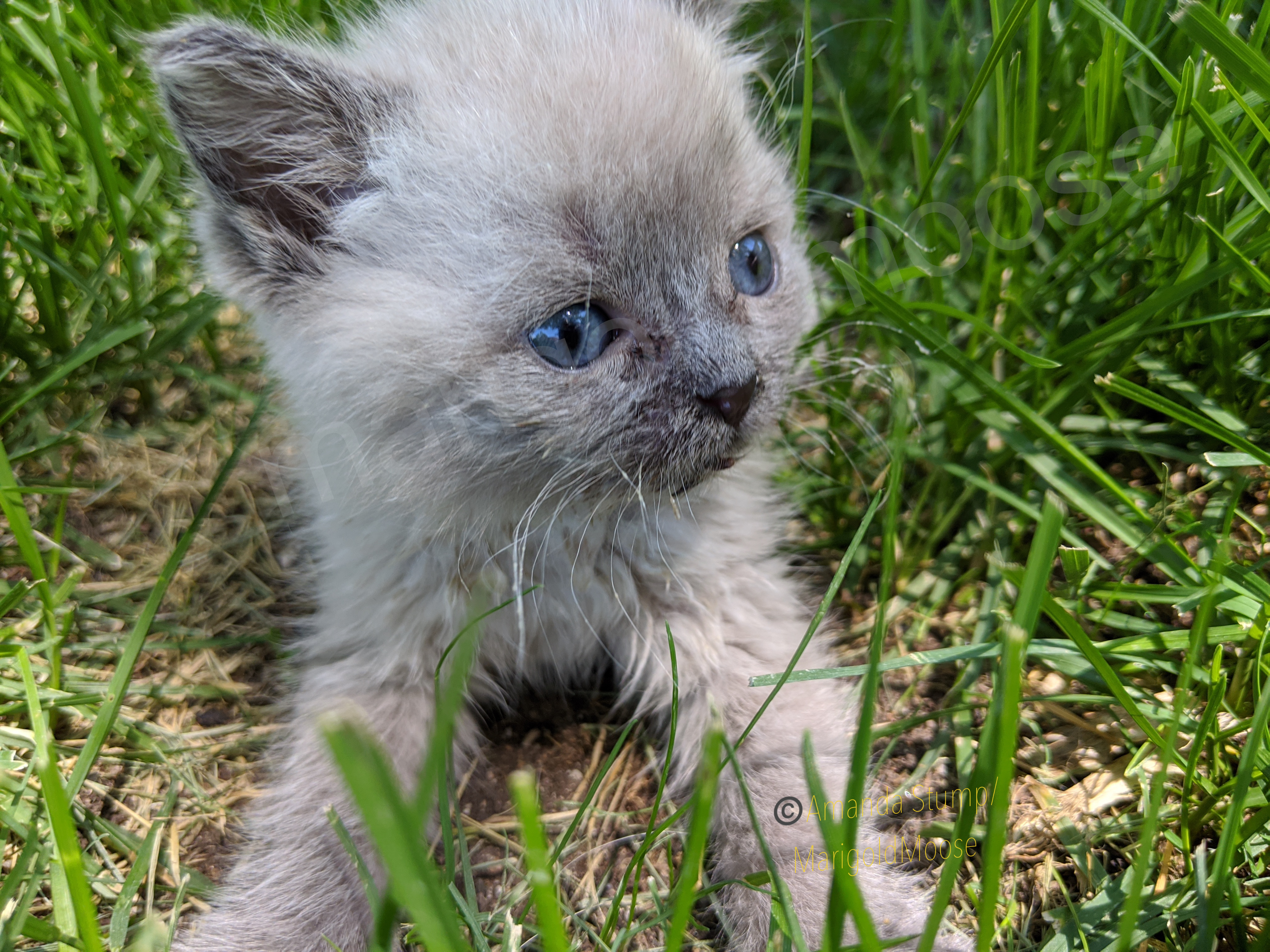
We did a nice short morning excursion and we’re home in time to play with our foster kitten, Janika! (Gratuitous kitten picture below). Monte Cristo is absolutely gorgeous and only about 1-1.5 hours from downtown Salt Lake City, so perfect for a quick trip to get out of the heat or inversions. I haven’t attempted the route in winter yet, however and I believe part of the route on UT39 is actually closed once it snows.

The map below is pinned a little east beyond where I was on UT39. The National Forest is the green sector.

Roosevelt elk in Olympic National Park

The Olympic Peninsula in Washington.

The Olympic Peninsula in Washington is such a unique and beautiful area. The Dagobah-like area sports beautiful waterfalls, dense trees, and ubiquitous moss. The Hoh Rainforest is a beautiful area, and has some interesting wildlife, including the Roosevelt elk.

Roosevelt elk (Cervus elephaus roosevelti) is the largest of the 4 subspecies of elk. There is a large population in the Hoh rainforest, as well as a smaller population in Alaska near Kodiak Island (the Alaskan elk originate from 8 Hoh rainforest elk calves that were transplanted in the late 1920s to replenish a historic population; an additional herd was sent north again in the 1980s). Roosevelt elk tend to have darker hair than Rocky Mountain elk and larger antlers. Their name comes from President Theodore Roosevelt, who designated the Hoh rainforest area a National Monument in the early 1900s to protect the elk herds in the area. The National Monument later became Olympic National Park.

elk_follow_1
Yes, this is how they move elk.
Image source: https://www.wvgazettemail.com/outdoors/hunting_and_fishing/dnr-elk-leader-describes-organized-chaos-of-elk-capture/article_ae82051d-cad3-5e1d-b119-9fb5adf8c11f.html
A beautiful Roosevelt elk cow stands in the Hoh rainforest with rain running down her back and trees and moss in the background.
Roosevelt elk doe in the Hoh rainforest.

We saw this doe (oops, they’re called cows if they’re elk, apparently) from our car, it was a complete chance encounter. I was hoping to see some of the herd, and after hiking for a couple hours we decided the rain was getting too heavy and called it for the day. Just after we packed up and started driving, we turned a corner and saw this elk standing on a hillside. You can see her coat is pretty soaked from the rain. As we saw her in the spring, I have to wonder if she was pregnant or just very well-fed (there’s a lot of vegetation for them to graze in the rainforest!) She gave us a couple seconds of viewing before she went on her way. She definitely was stockier than the Rocky Mountain Elk I’m used to seeing.

Dense pine trees covered in moss stand together.
Moss-covered trees in the Hoh rainforest.

The Hoh rainforest is about 4 hours west of Seattle. It’s not the easiest area to access, but definitely worth seeing especially if you’re heading back east from the coast. As it’s a rainforest, it gets almost continual rain in the later fall through early spring. We went in April and it was pleasant temperatures, but yes, lot of rain.

Haystack Lake in the Uintas

Uinta mountains
Flowered meadow (really a bog) up in the Uinta mountains.

I am really fortunate to live in a state that is encouraging people to go outside (safely) and that I can easily find places that are absolutely empty. Go a little ways off the paved road and you’re pretty much on your own (especially if you go on a weekday). We took the Monday after July 4th off and headed up into the Uinta mountains for some fresh air and cooler temperatures. The Mirror Lake Highway is fully open now, and I will again state my preference for the non-Kamas side of you want solitude.

With no real destination in mind, we decided to visit a couple alpine lakes. Apparently to be called an “alpine lake,” a body of water (reservoir or lake) needs to be located over 5000 feet. This was off of Mirror Lake Highway (FR041), there are quite a few little lakes you can hike to and visit. To be fair, the first “lake” — as it was denoted on forest service maps — was really a natural spring that made a bog-like meadow. I’m not complaining, it was beautiful!

Natural spring
Origin of natural spring in the Uintas

The stream from the spring meanders through the meadow/bog and there are quite a few wildflowers in bloom now. Yes, the water was COLD. I don’t think this spring/stream is named that I could find. There is a nice little primitive camping spot and fire ring (metal) in front of the meadow/bog (see first picture, that’s the camping spot, great view!). Didn’t see any animals here (aside from a frog) but saw lots of deer tracks.

Frog
Uinta Frog

The view is absolutely beautiful. We walked across the meadow/bog, it’s a bit squishy but not too bad.

Uinta Mountain Meadow

From the meadow/bog we continued up and visited Haystack Lake (with a view of Haystack Mountain). There are a TON of great camping spots along the east side of the lake. Some kind person has stacked firewood at them as well.

Haystack Lake
Haystack Lake

I saw a couple fish jumping, and supposedly the lake has Brook and Cuttroat Trout. Only 2 waterlilies were blooming (yellow ones).

There is a trail around the lake, or you can try to go along the shoreline (it gets pretty mucky). The west side has game trails going up the mountain too. We didn’t see any animals here, but heard something that may have been a moose. Or elk. Also saw moose tracks in the mud.

Haystack Lake origin

The only animal I saw was a chipmunk. Still pretty cute. Overall, a nice place for solitude, a little hike, and great scenery.

Solitude by the Weber River

Hopefully everyone is staying safe and well during the pandemic. Through the shut downs and quarantines, we were still allowed (and indeed encouraged) to get outside for exercise or a drive here in Utah. It’s not hard to be socially distant here if you take the back roads, avoid the popular canyons and parks, and generally just want to explore. A couple weekends ago we wanted to go poke around the Uinta Mountains (strangely the tallest east-west running mountain range in the lower 48 states). We (rightly) assumed the Kamas Mirror Lake road entrance would be crazy busy. So we went in the Evanston, Wyoming route.

weber-river-3-wm

We found a beautiful spot on the Weber River (we were back in Utah at this point). Still running high and cold from snow melt (and yes, that’s still mountain snow!) but so clear and beautiful. We are always looking for things we can see with small hikes or from back road driving. I know, I know. Ideally we would be hiking further, etc. BUT, I have a chronic illness (or two. Or three. It’s all speculation at this point) and sometimes I just can’t go far. Some days I can. This was a “high pain” day. But dammit, I’m still going to travel, explore, and see what I can! This was a mostly driving excursion with some sort hikes to break it up (and heated seats to help sore muscles after).

weber-river-wm

We only saw a handful of people, most were out jogging or poking around their yards. If you don’t mind a drive (and FYI the back rural roads in Wyoming have a 70mph speed limit!) and want some solitude, I highly recommend exploring the Wyoming entrance to the western Unitas.

weber-river-4-wmAlso found this old railroad bridge (Union Pacific!) that is now a back forest road. I was shocked it’s not been graffitied. That’s my Detroit side showing, I guess!

Stay safe and healthy, all. We’re all in this together. 💜