From the sumo Aki Basho 2024 (September) in the Ryogoku area of Tokyo. We were only in the area for two days and at the basho (tournament) for one day. The next tournament starts in January!


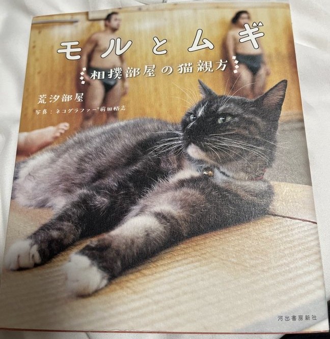


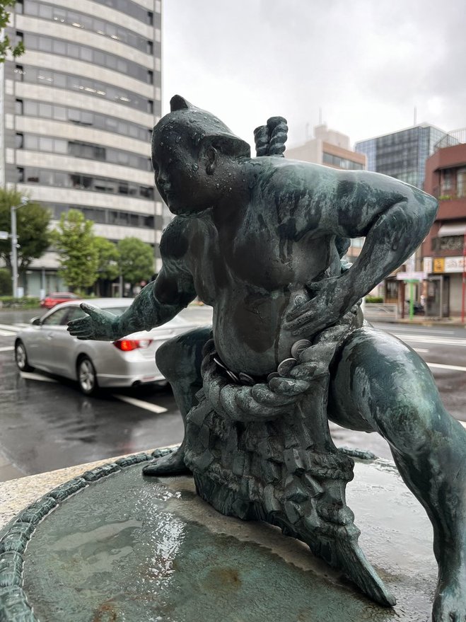
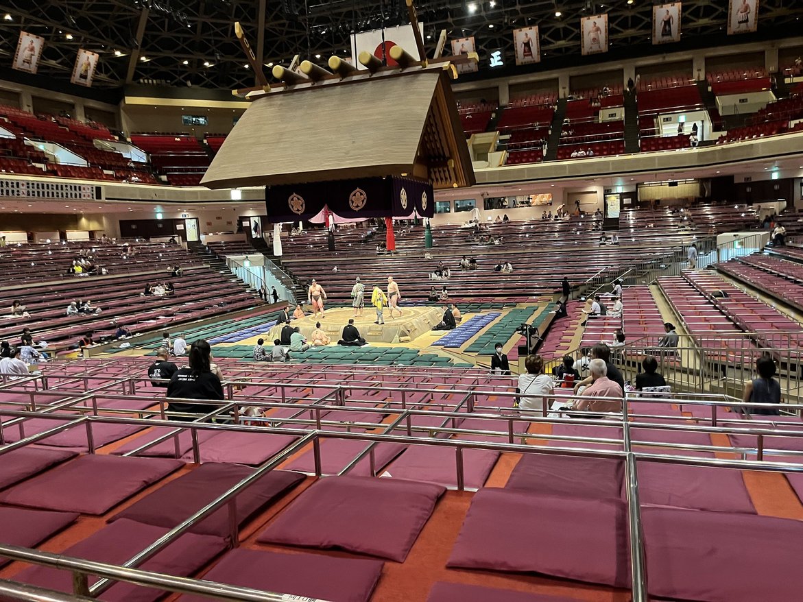


From the sumo Aki Basho 2024 (September) in the Ryogoku area of Tokyo. We were only in the area for two days and at the basho (tournament) for one day. The next tournament starts in January!
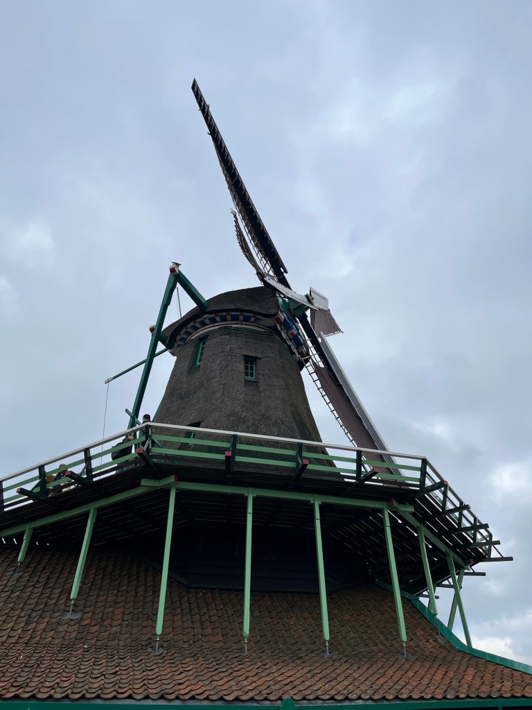
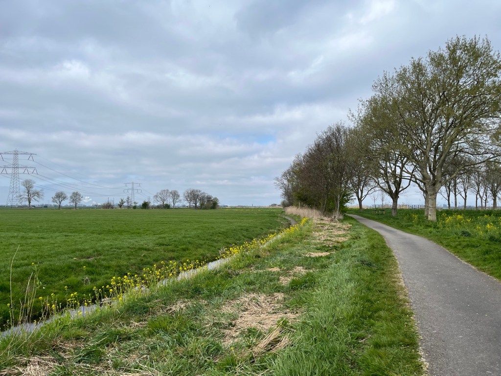
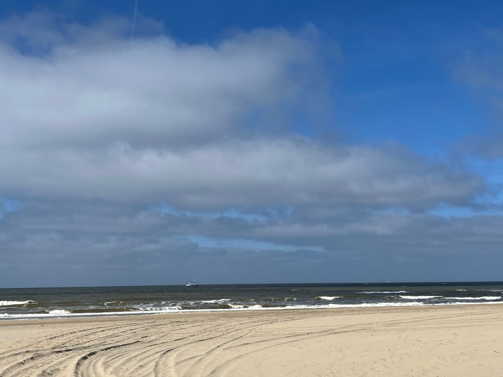
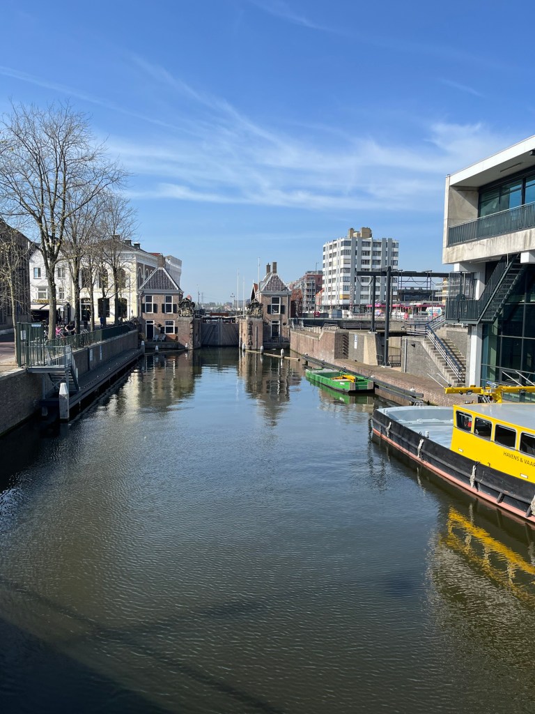
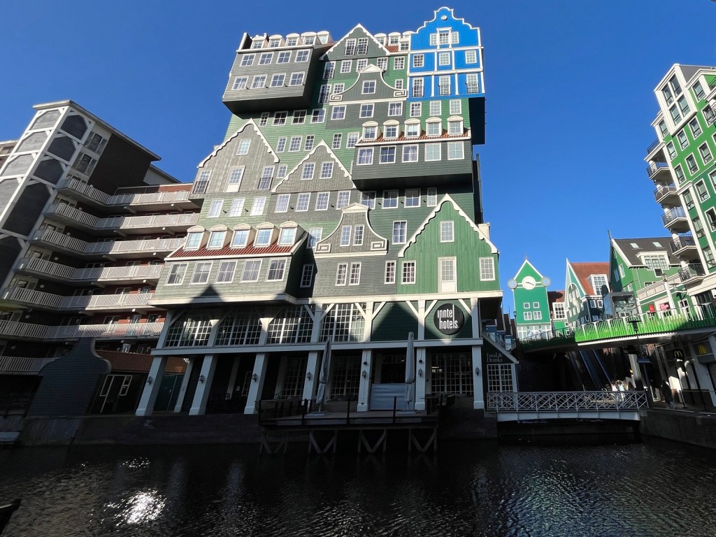
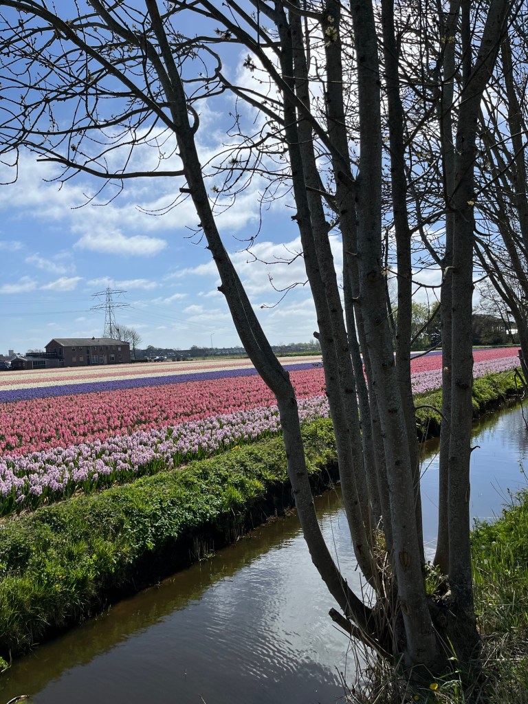
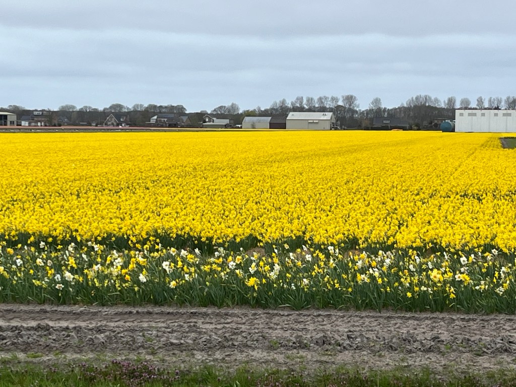
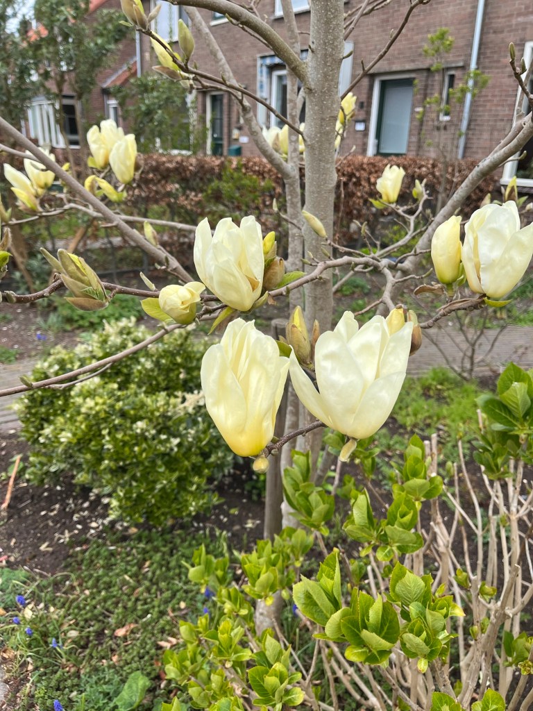
Zaandam to Haarlem to Oude Wettering to Nieuwe Meer and back to Zaandam.


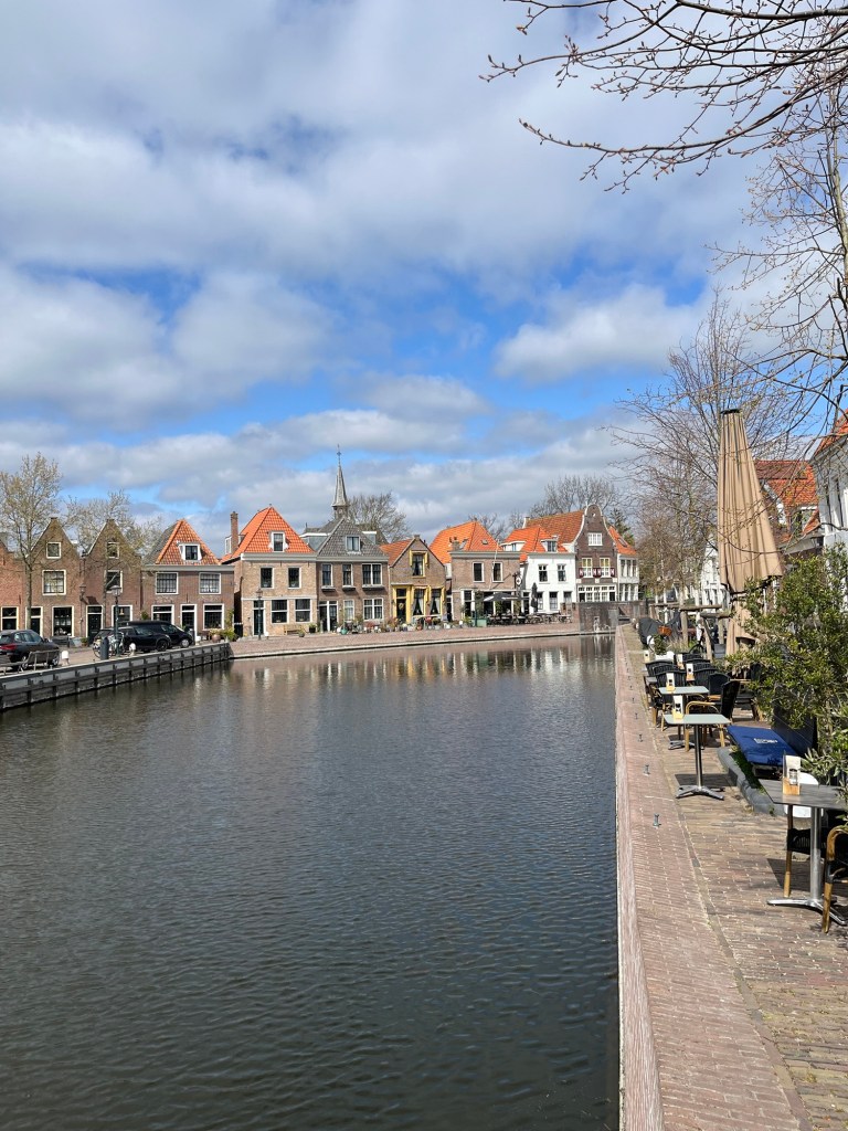


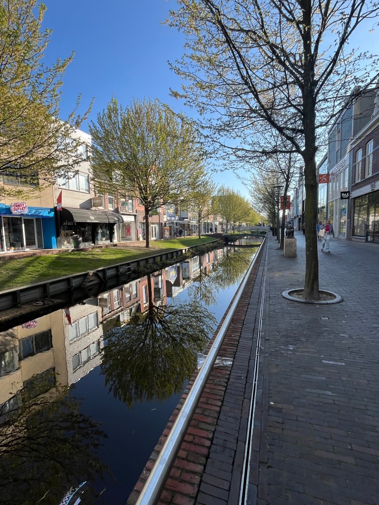
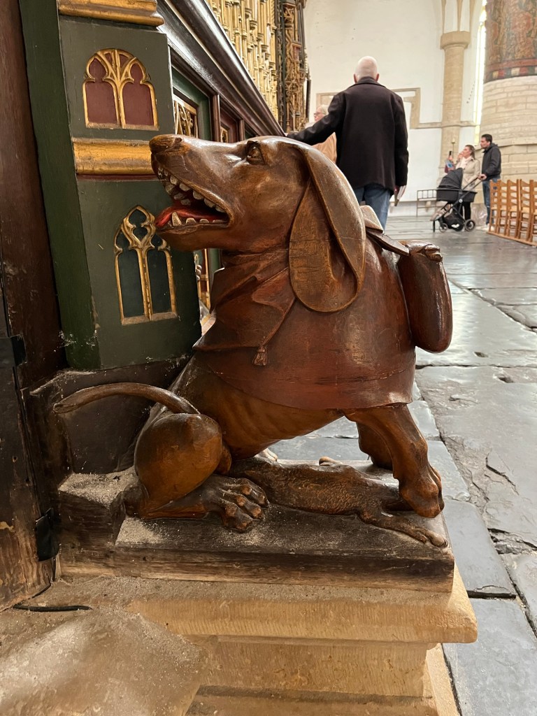
A quick trip to Haarlem to see the cathedral of St. Bavo.


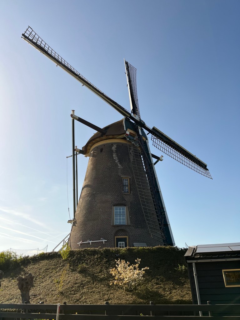
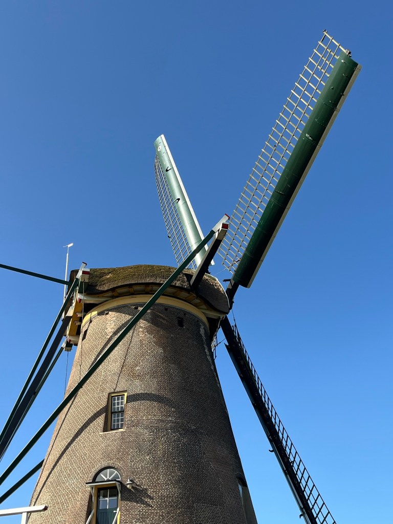
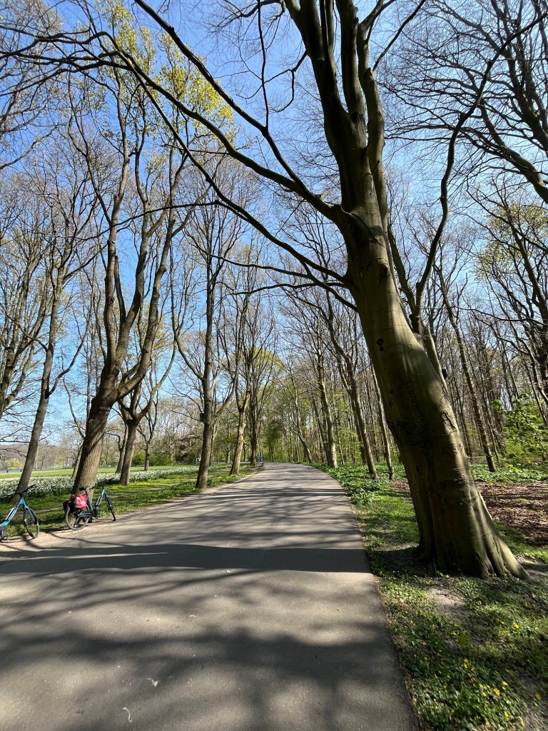
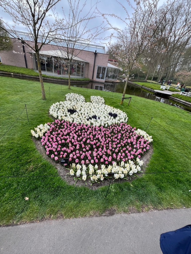
We took a spring trip to the Netherlands that was timed perfectly to see oodles of flowers! We biked all over (highly recommended, the country is set up for biking and no one tries to run you off the roads). These pictures were taken south of Haarlem and on to the Keukenhof. The Keukenhof is probably the most famous flower park.


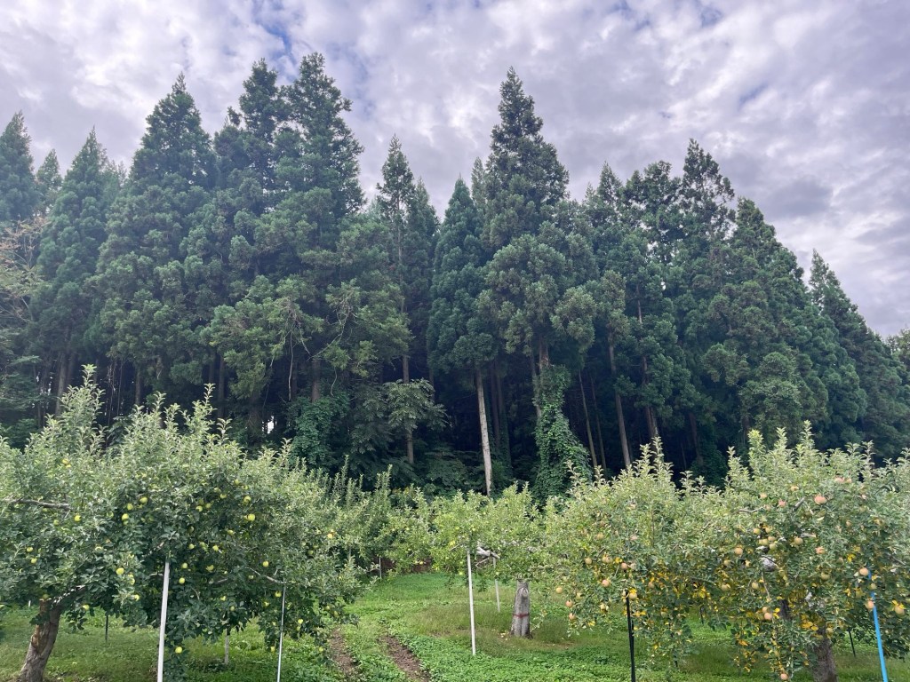
A small Shinto shrine in northern Honshu, Japan. An ancient shrine site, it celebrated the hunt and harvest. Aomori is the primary Apple growing region in Japan.
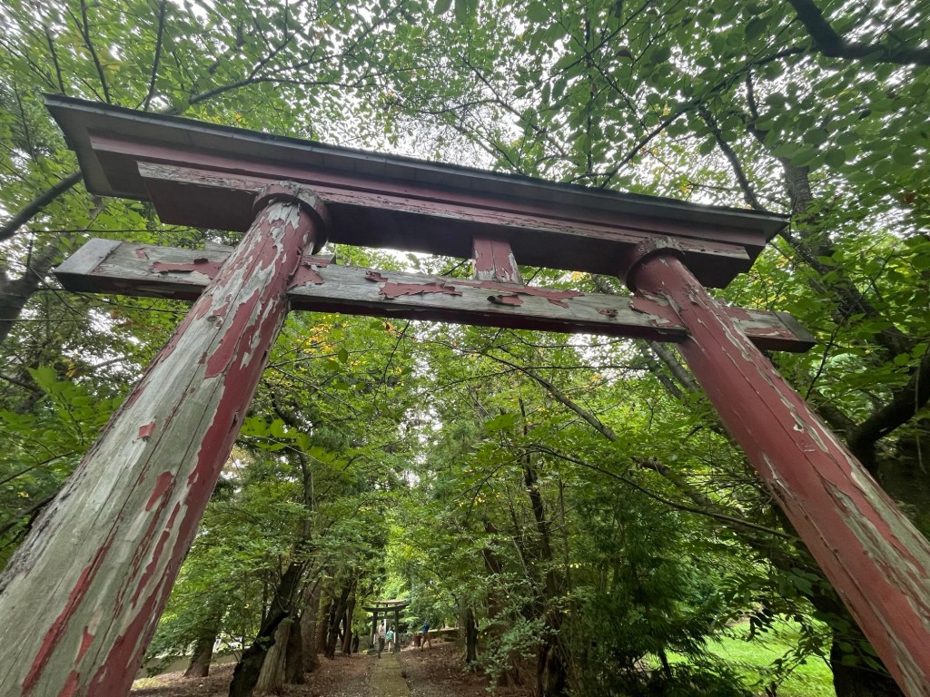
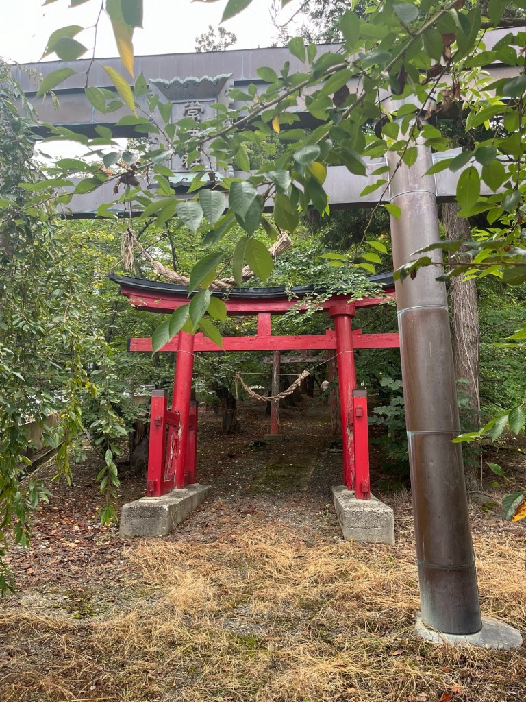


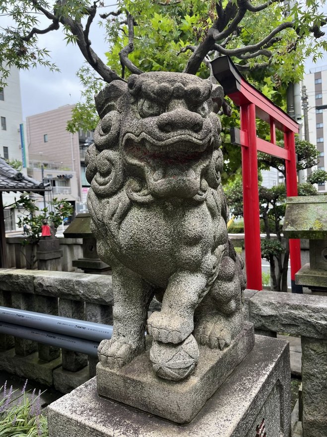
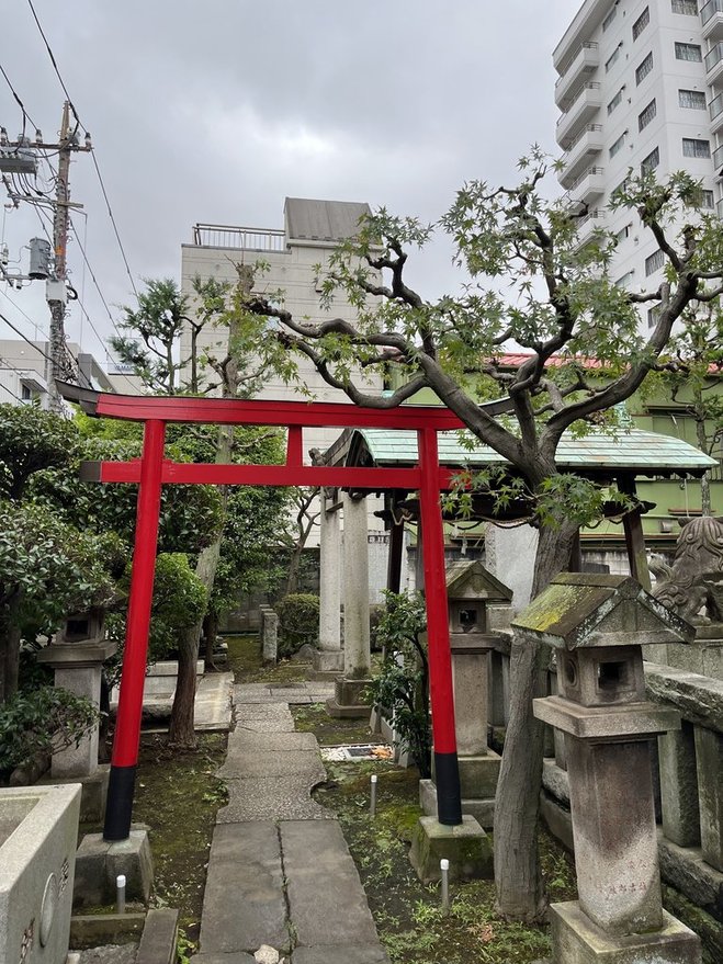
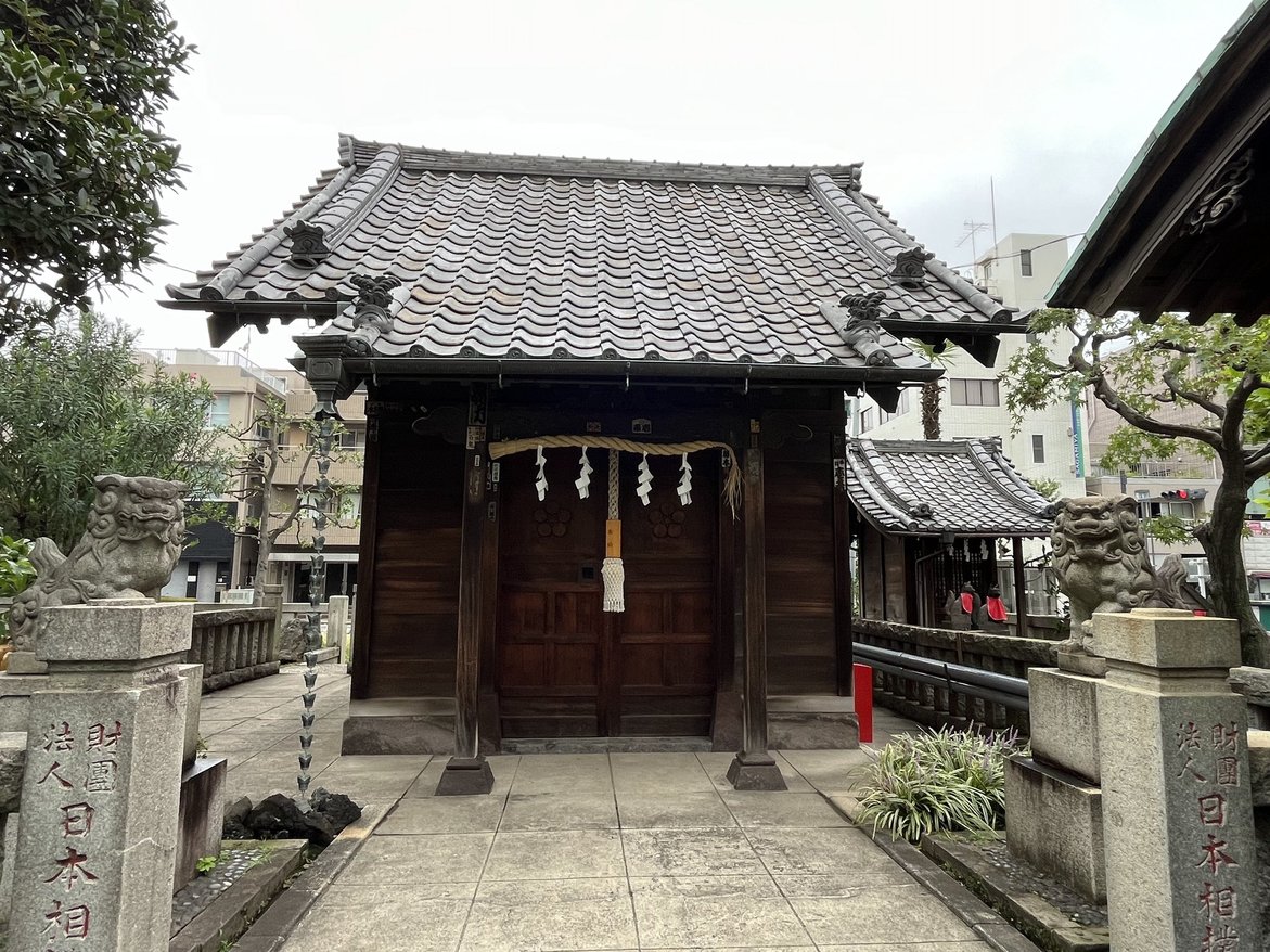
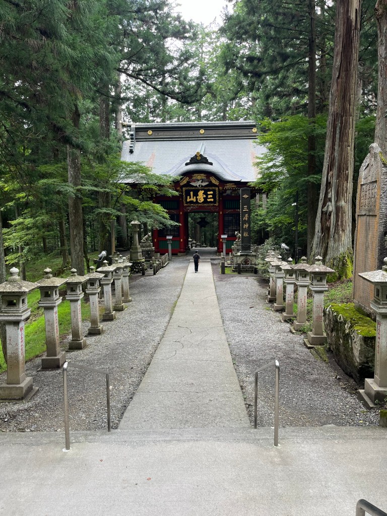
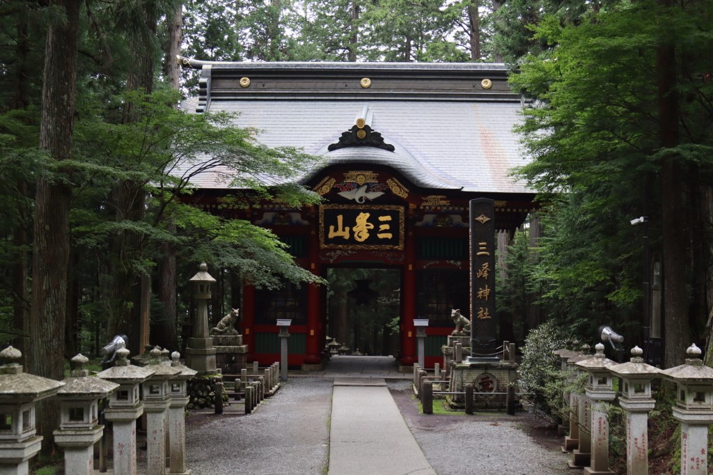
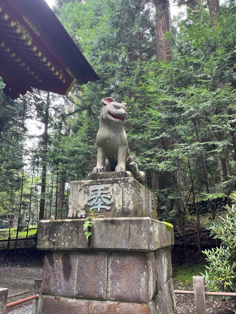
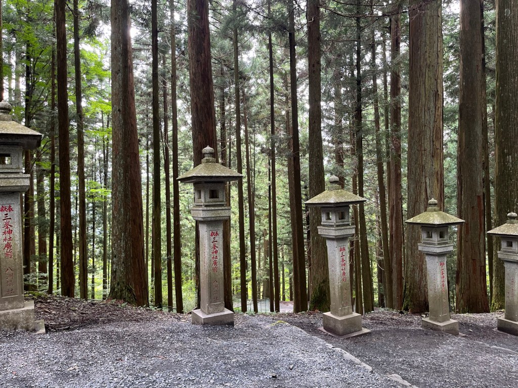
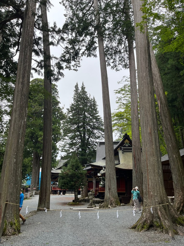
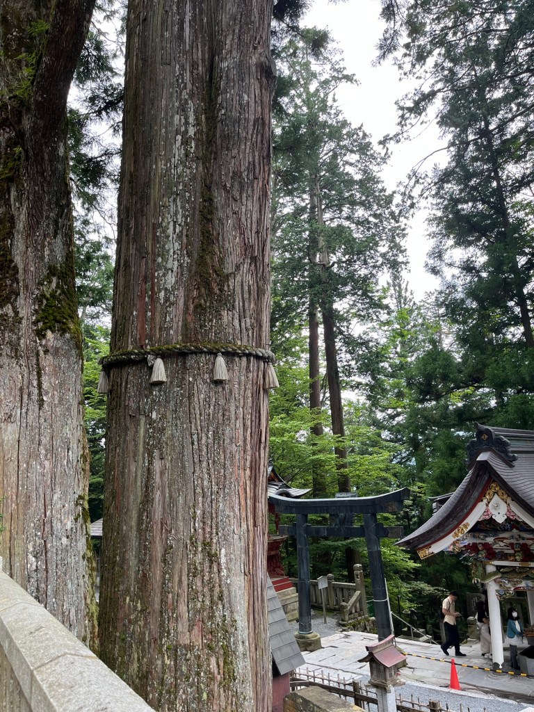
Outside Chichibu in Saitama Prefecture, Japan and one of the few wolf (okami) shrines.


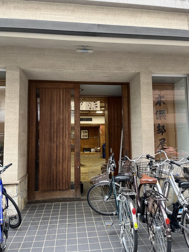
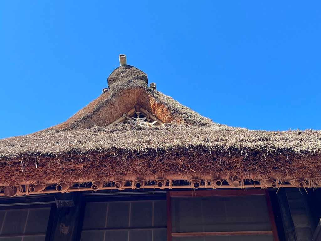
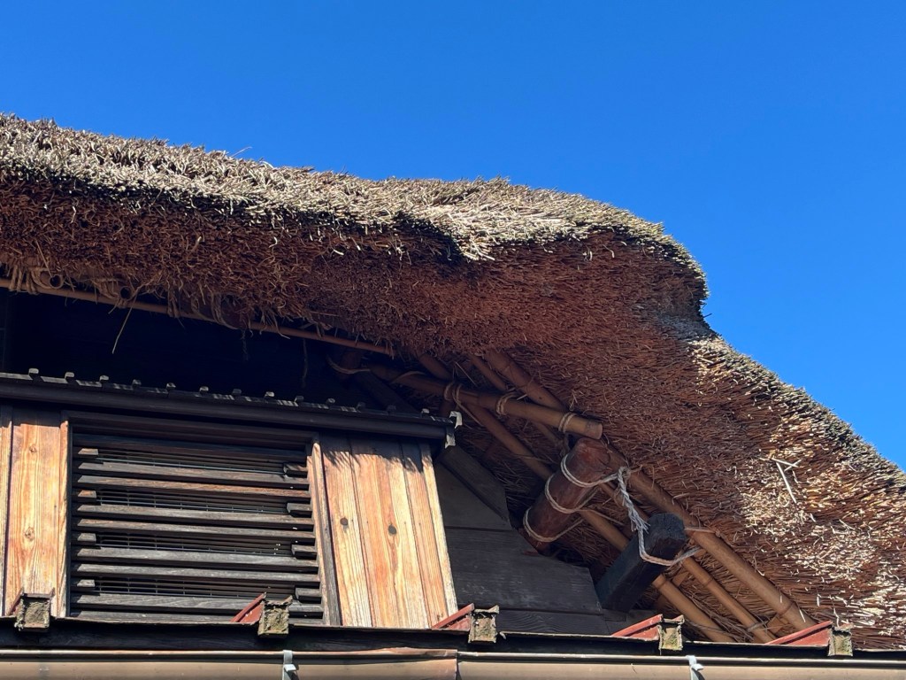
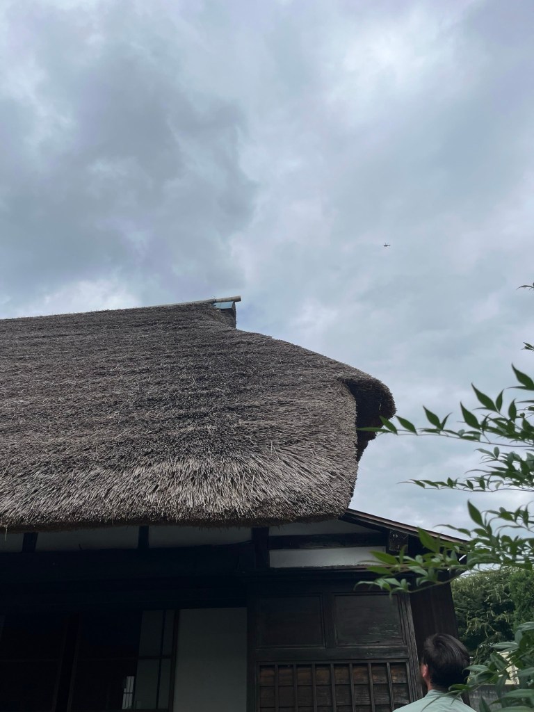
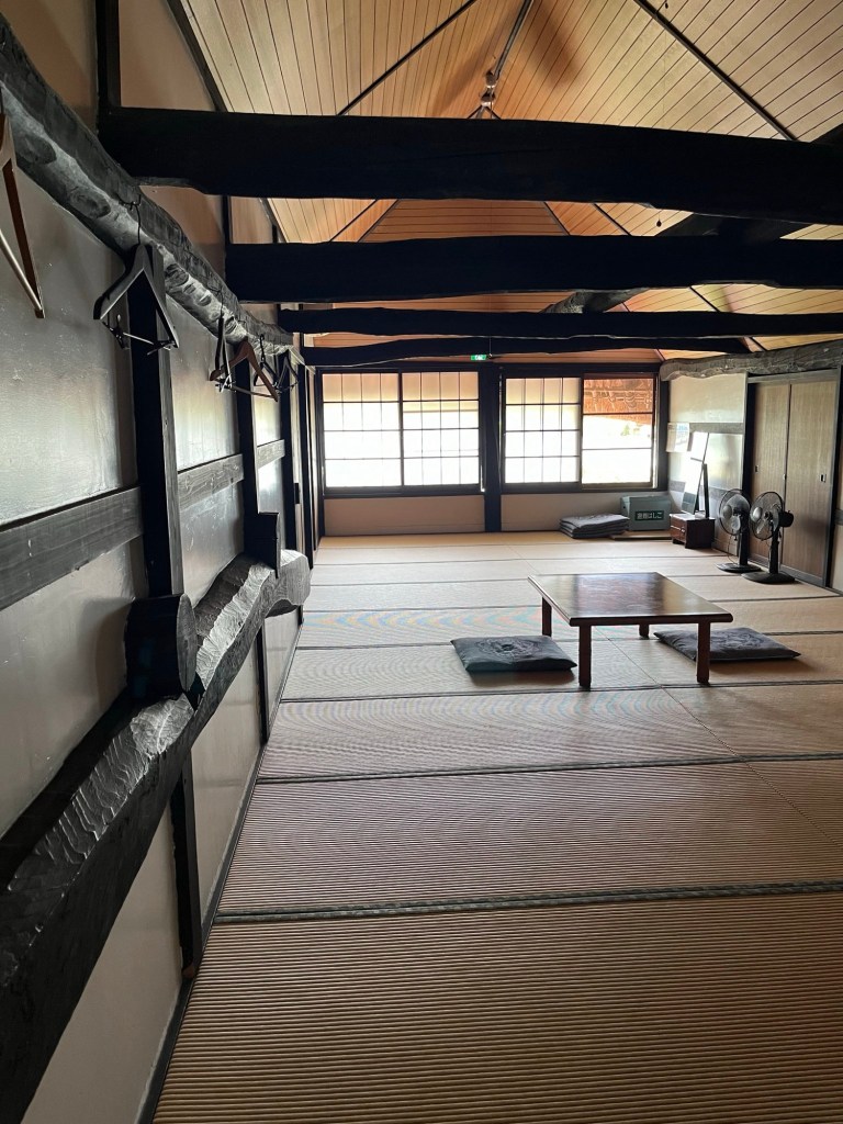
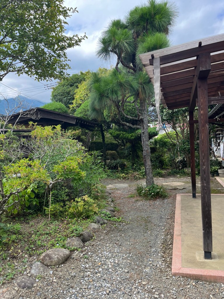
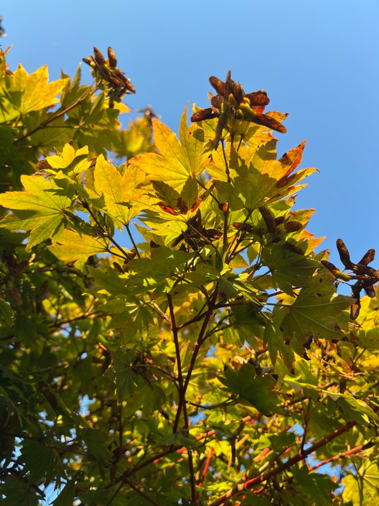
Images from an Edo-era inn outside of Chichibu, Saitama prefecture, Japan.


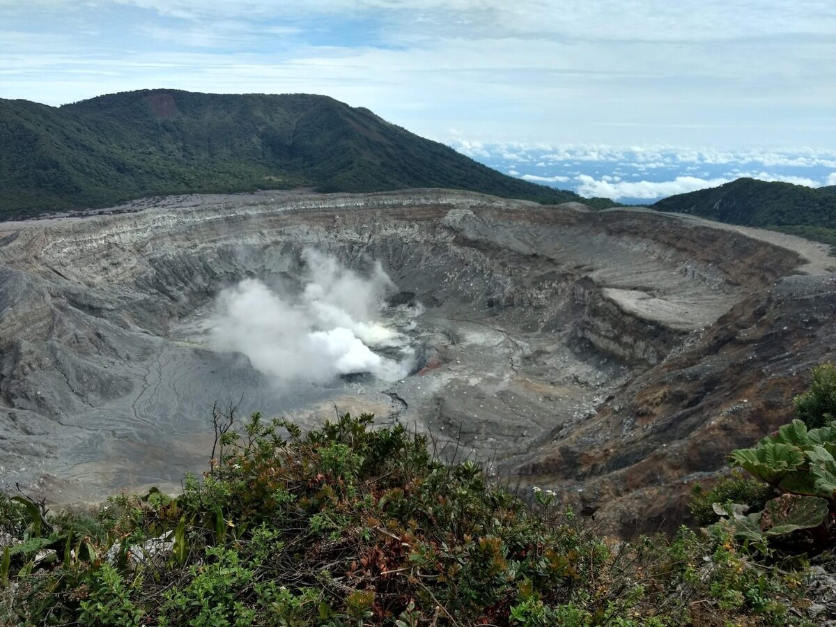
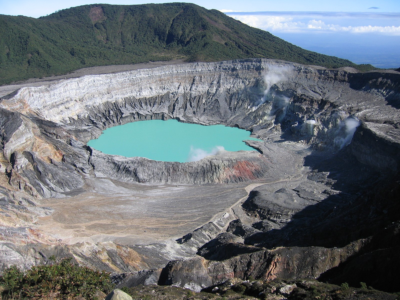
Poás Volcano National Park contains the world’s largest open volcano, complete with a vibrant greenish-blue to yellow volcanic lake that bubbles and boils. The volcano’s opening is over a mile across and bubbling sulfur can be seen between the steam.
Poás is located within a beautiful and lush Central Conservation Area of central Costa Rica that encompasses 6 National Parks and many protected areas. Birds flutter through the heavily vegetated area, including the rare resplendent quetzal, toucans, and hummingbirds. The Poás Volcano sits among rolling hills and is close to the coffee farm that sources Starbucks.
Poás Volcano’s future as a National Park began with student Mario Boza, a Costa Rican who visited National Parks in the United States in the 1960s and was inspired. His Master’s thesis involved a plan to implement a conservation program for the Poás area. The volcano and surrounding area was granted National Park status in 1971, ensuring the area was protected and could not be developed.
The park complex includes a museum and gift shop, a lecture hall (where everyone hoping to view the caldera from the overlooking viewing platform must take safety training), and hiking trails. The 8,885 ft tall volcano has erupted many times since 1828, most recently in September 2019 and 2017. In April 12, 2017, the park was temporarily closed in apprehension of an eruption. Ash and steam clouds began to form, and a large blast on April 22 threw rocks and debris that damaged the viewing platform and nearby structures. After this eruption, the local hiking trails (including to Lake Botos, a green high volcano lake) closed and extra infrastructure was put in place for shelter for tourists and employees near the viewing platform.
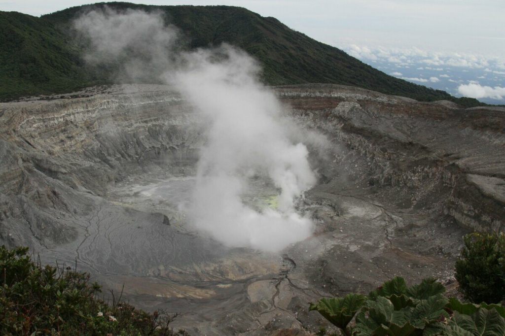


The walk up to the viewing platform is 0.3 miles, and hardhats (provided by the park) must be worn. You must be in a group with a guide to go to the viewing platform and you are only allowed a maximum of 20 minutes at the platform (the gases released by the volcano aren’t so great to breathe much longer than that). The walk up/viewing platform is accessible, but a slightly higher viewing platform does require some stairs. On the walk up, the surrounding jungle becomes thinner and the effects of acid rain from the volcano can be seen readily. The platform offers stunning views of the volcanic crater and sulfur lake. On clear days, another large Costa Rican volcano, Arenal, can be seen in the distance.

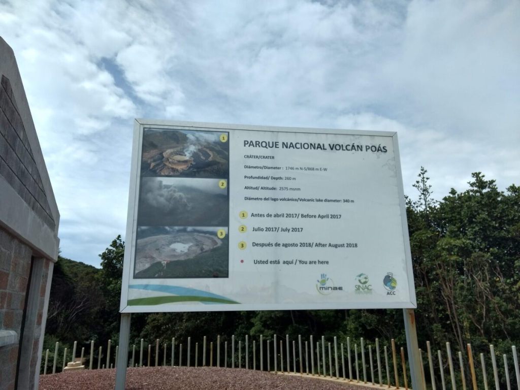
The site is a National Park and requires an entry fee and brief safety training before you are allowed to visit the caldera rim. The path to the viewing platform is paved and is 0.3 miles each way. Nearby hiking trails have been closed for several years due to eruptions. A strong sulfur smell is always present and can bother those who are sensitive. We stayed onsite about 1.5 hours, as the hiking trails were still closed when we visited. The area around Poás is absolutely beautiful, so don’t be dismayed at the 20 minute volcano limit.

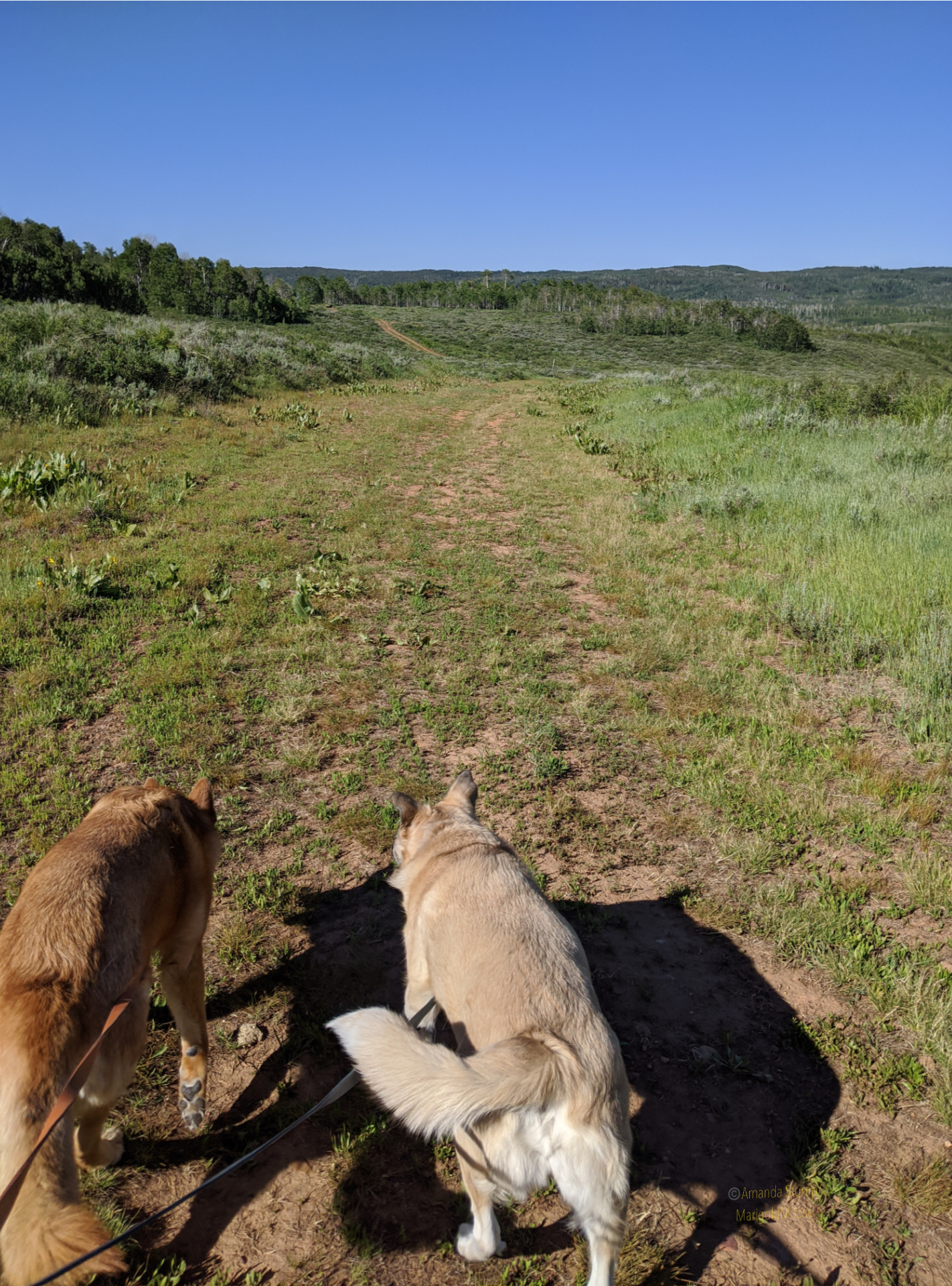
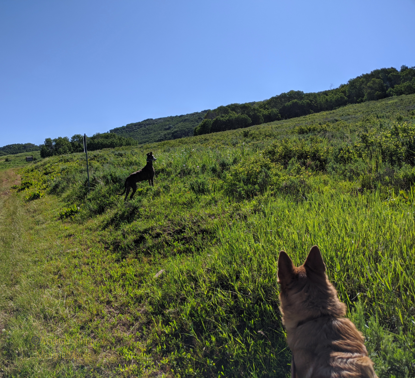
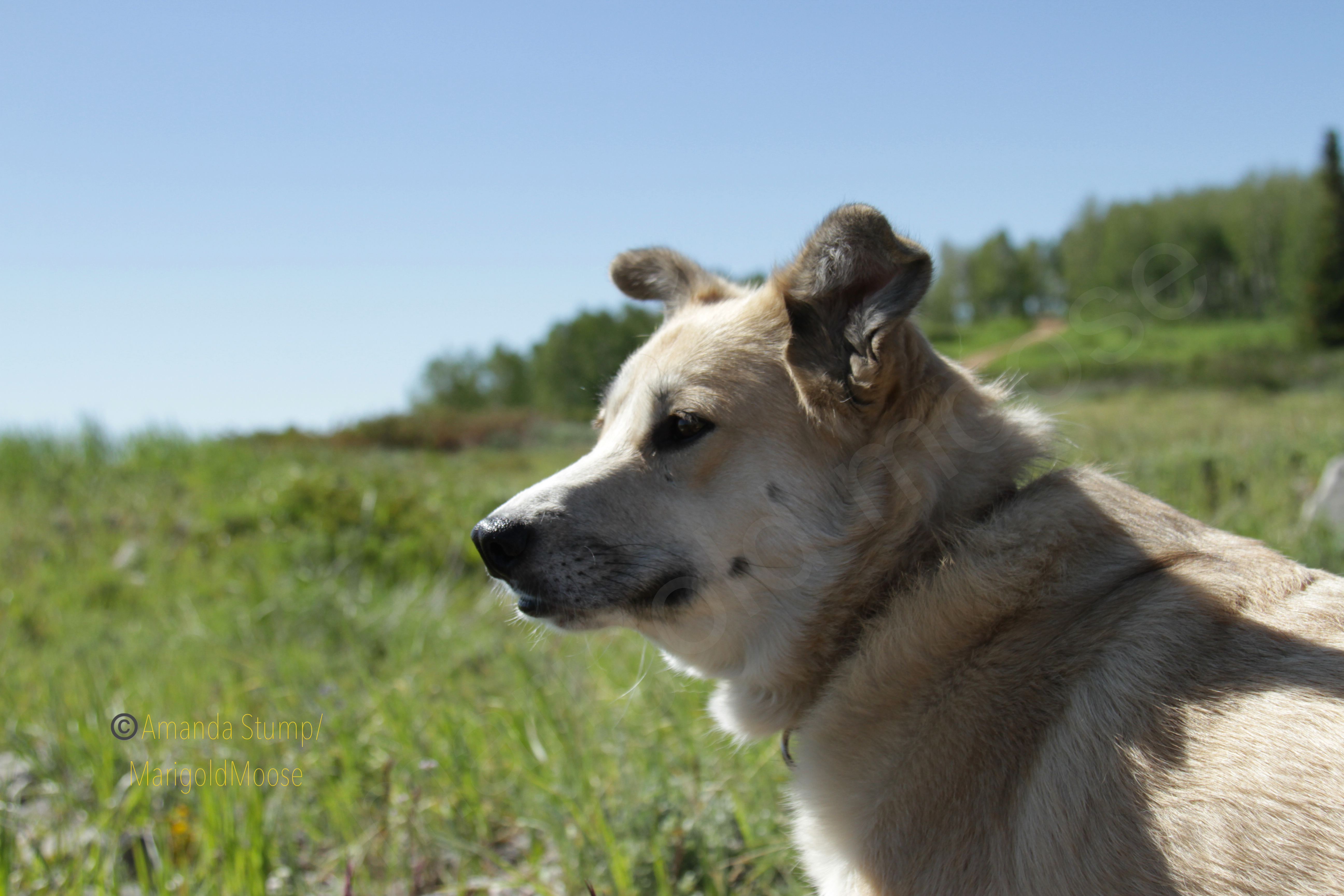
This past summer I took a little drive on my day off. Since I’m always in the Uinta Mountains (it seems), I decided to head up to the Wasatch Mountains this time. And I took all 4 dogs. Since Miss Moose isn’t up for big adventures, we did some short walks and a lot of poking around. I decided on Monte Cristo because I’m always up for food-named places and I heard it was beautiful. It’s northeast of Ogden and it’s usually a good 10-20 degrees colder than the valley. I headed up UT39 and took the dogs for a short run/walk on an ATV trail to get some energy out because enthusiasm levels were high, as you can see in the images below. Disclaimer: my dogs are leashed any time I intend to encounter another person. This was not that place, plus it was 7 am so you can see Reina is roaming.

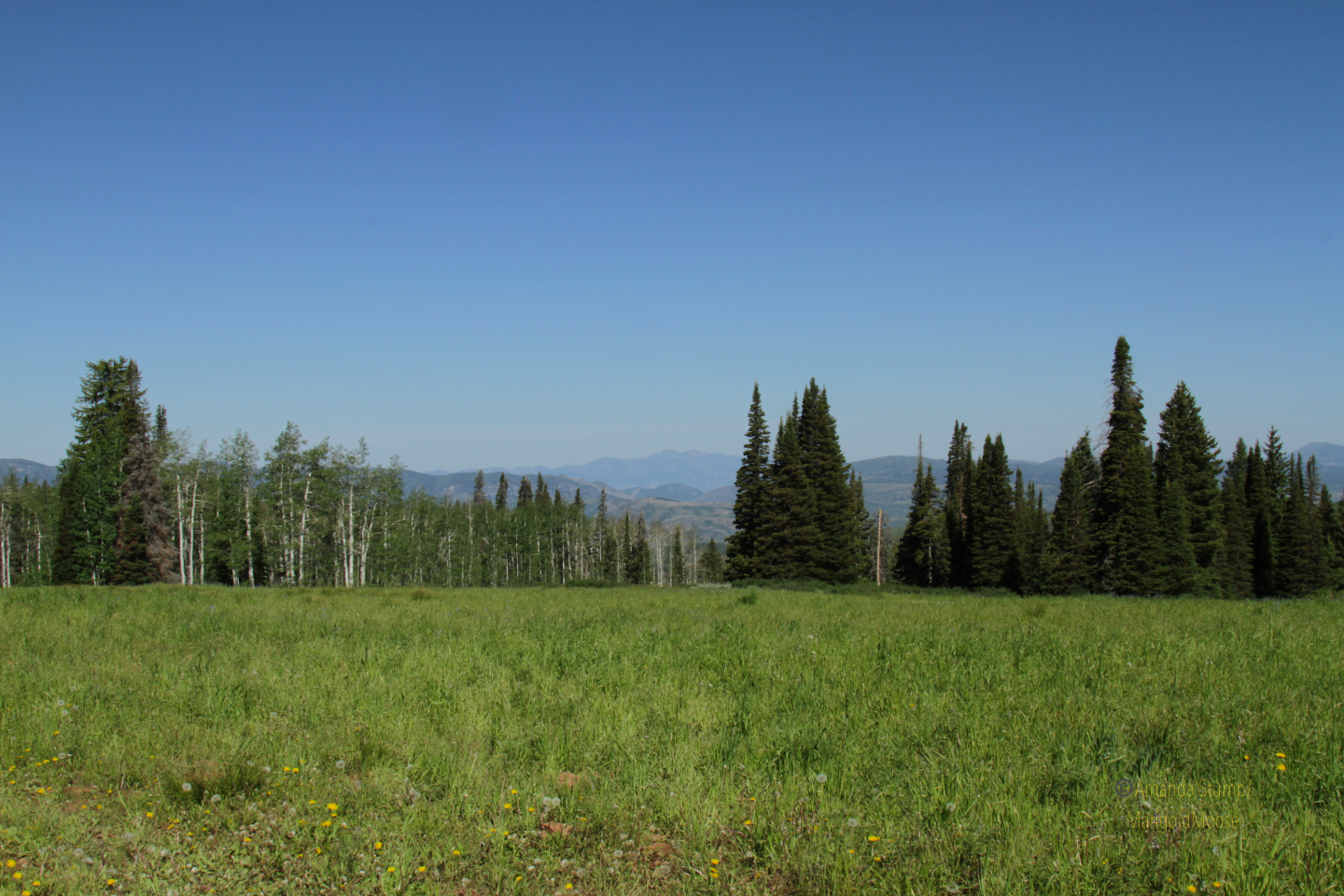
The views driving on UT39 are gorgeous. You can overlook the Ogden Valley and get some amazingly beautiful views. Not many pictures, though, as there aren’t a ton of places to stop and I was driving so no “ shoot out the window and hope it turns out” shots. I did find a nice pull off to experience the beautiful summer mountain flowers. I think those blue flowers below are a type of bellflower. Pretty meadows also give way to mountain landscapes. It’s definitely a great place for nature photography, if the valley inversions behave themselves. There was a bit of haze when I went out, but overall the view was pretty clear.

The girls had a lot of fun both poking around the hillsides and exploring. Dogs are welcome as it’s National Forest, just observe basic trail etiquette. Mt. McKinnon is the high point in the area, and again, the views are gorgeous. We ended up sitting on the side of the mountain for a little bit (Miss Moose mandated it) and just relaxing. We went on a weekday and it was fairly empty, though the campground fills up quickly in the summer.


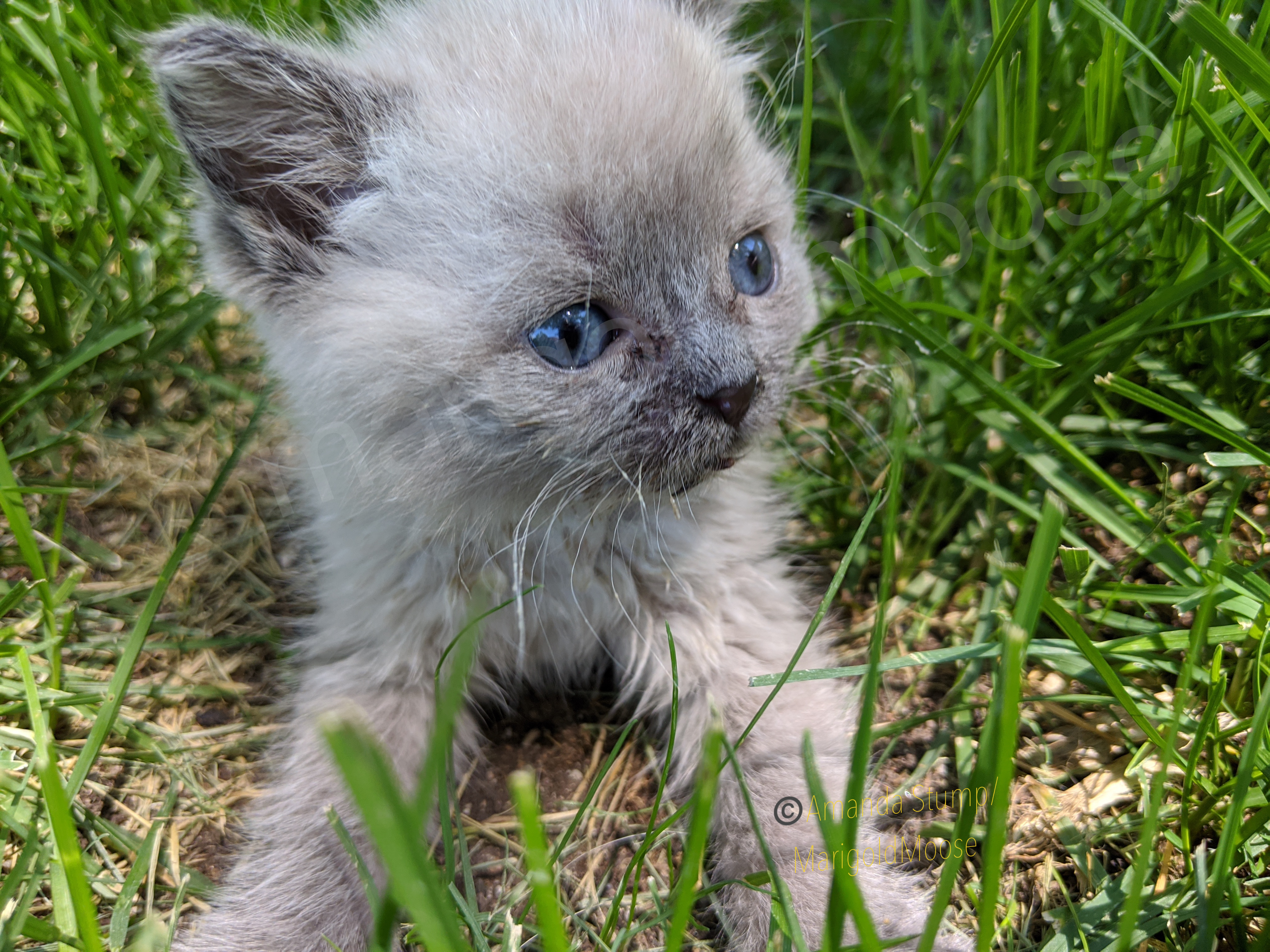
We did a nice short morning excursion and we’re home in time to play with our foster kitten, Janika! (Gratuitous kitten picture below). Monte Cristo is absolutely gorgeous and only about 1-1.5 hours from downtown Salt Lake City, so perfect for a quick trip to get out of the heat or inversions. I haven’t attempted the route in winter yet, however and I believe part of the route on UT39 is actually closed once it snows.
The map below is pinned a little east beyond where I was on UT39. The National Forest is the green sector.
This is an update on the post I did several years ago here (it still has a lot of great info!)
Here in Utah we’ve been very lucky to have a warm and dry (maybe too dry? We’re actually in an extreme drought) autumn. But, of course, all nice things have to end eventually and we’re expecting a drop in temperatures tonight. I always worry about animals in cold temperatures as I’ve seen so many animals with frostbite damage in my veterinary work. Hopefully this post will help keep some kitties more comfortable!
A quick word before we get to the cold weather info: TNR (trap-neuter-release; this term works for spaying females too) is another of the kindest things you can do for an outdoor cat. Period. Many clinics, rescues, and vet clinics offer low cost or free feral/barn cat sterilization surgeries and vaccines. If you see a cat outdoors with a tipped left ear (literally missing the tip of the ear) it means the cat has been sterilized. TNR reduces the chance of injuries to the cat (less fighting over territory), reduces the number of unwanted kittens that overrun shelters, and extends the life of the cat. For more info on TNR check out the Alley Cat Allies site here.
Feral cats, barn cats, and even lost indoor cats are at risk for frostbite (which can permanently damage ears, toes, and even cause nerve damage) and cold weather can exacerbate underlying conditions (like asthma, heart conditions, or other ailments). The best thing you can do for outdoor cats is to provide 3 things: sturdy shelter, food, and non-frozen water.
Shelter: this can be as simple as a box and as complex as a fully-built complex. (Many community feral cat rescues offer plans or even boxes you can use, check out one plan here). Chewy or Amazon also offer pre-built heated outdoor shelters. One of the best semi-permanent shelters uses a couple plastic tote bins, some Styrofoam, straw, and something to keep it slightly elevated off the ground and something to keep the lid on. The refletix (metal-looking bubble wrap) that comes with some cold grocery deliveries (or can be purchased from a home supply store) can also add an additional layer of moisture-proof insulation.
The image below shows how to make a good shelter, my only edit would be if you live in an area with dogs, foxes, or coyotes, there should also be a second hole cut for an exit. Make sure the shelter is both secure (it won’t blow over in heavy winds) and in a safe place. Elevating the shelter on some lumber or even bricks will help keep the box warmer. Straw is the best insulator as it repels rather than absorbing water or moisture. Be sure to check whatever box you use for interior moisture and switch out straw if it gets wet. (You can find straw at places like Tractor Supply or gardening stores. If you’re keeping extra make sure to keep it covered with a tarp or in a shed to keep moisture out).
Smaller is better for shelters: the more air space, the more cold that can get in. Make sure snow or ice isn’t accumulating in the shelter and that, during or after snowstorms, that the entrance and exit are both accessible and not blocked. Never put food or water inside the shelter, these can attract predators or pests.

Food and water: keep all food and water away from the shelter. If possible, place these under a roof or even in a plastic tub on its side for a makeshift cover to keep rain or snow out. Dry food is best as it will not freeze. Water is essential in the winter, and cats will not get moisture from snow. A heated water bowl works well, or even putting a water bowl inside an insulated bin cut to the size of the bowl will keep water from freezing quickly. Bird bath or pond warmers work as well for larger bowls. If you have a pond or water feature and use a warmer to keep it from icing over, cats can drink from it as well. Animals need extra calories in the winter, so check food and water supplies frequently. If you will be out of town or expect to be limited in feeding due to a storm, put out extra food or ask a friend or neighbor to help you with feeding. Food supplies in winter can be the difference in the survival of an animal.

Antifreeze and deicing salt: remember to never leave antifreeze accessible to animals as it is very toxic and will cause death if ingested. If it is spilled, use materials (like absorbent cat litter) to absorb it and then discard it. Deicing salts can also have heavy metals or other materials that are toxic to cats (and dogs) when they step on it and then groom themselves. Be sure any deicing materials used are pet safe.
A final word, cats and other small animals sometimes crawl into engine blocks to stay warm. Be sure to tap on your hood before starting your car! I have seen kitties injured by fan belts from crawling into engines, and it’s not pretty. Better to check before starting!
