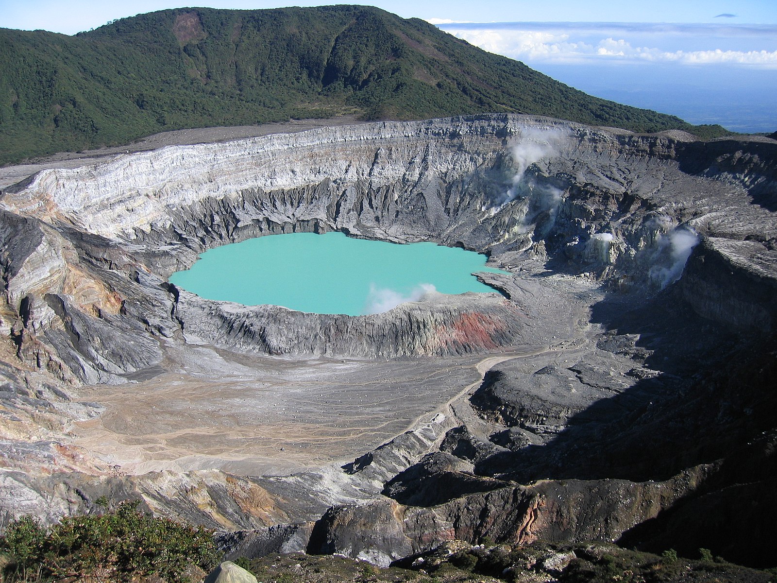
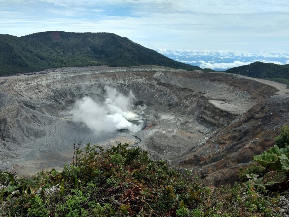
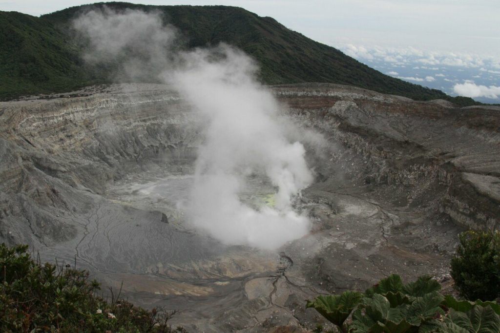
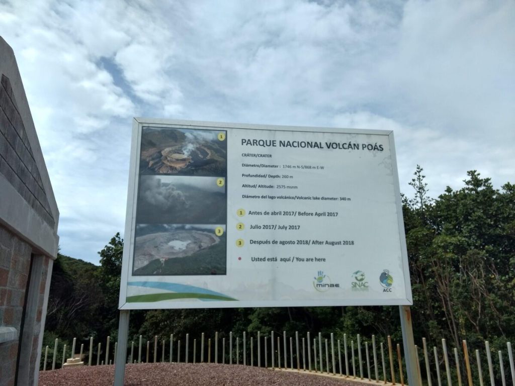
Poás Volcano National Park contains the world’s largest open volcano, complete with a vibrant greenish-blue to yellow volcanic lake that bubbles and boils. The volcano’s opening is over a mile across and bubbling sulfur can be seen between the steam.
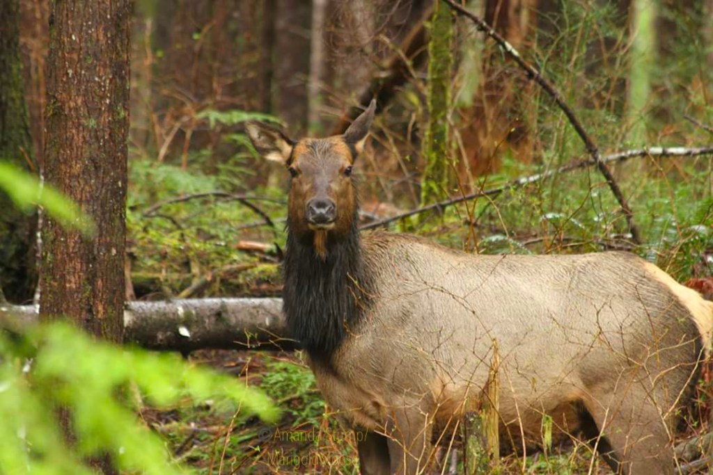
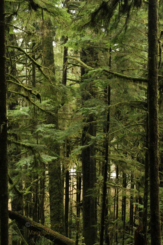
Poás is located within a beautiful and lush Central Conservation Area of central Costa Rica that encompasses 6 National Parks and many protected areas. Birds flutter through the heavily vegetated area, including the rare resplendent quetzal, toucans, and hummingbirds. The Poás Volcano sits among rolling hills and is close to the coffee farm that sources Starbucks.
Poás Volcano’s future as a National Park began with student Mario Boza, a Costa Rican who visited National Parks in the United States in the 1960s and was inspired. His Master’s thesis involved a plan to implement a conservation program for the Poás area. The volcano and surrounding area was granted National Park status in 1971, ensuring the area was protected and could not be developed.
The park complex includes a museum and gift shop, a lecture hall (where everyone hoping to view the caldera from the overlooking viewing platform must take safety training), and hiking trails. The 8,885 ft tall volcano has erupted many times since 1828, most recently in September 2019 and 2017. In April 12, 2017, the park was temporarily closed in apprehension of an eruption. Ash and steam clouds began to form, and a large blast on April 22 threw rocks and debris that damaged the viewing platform and nearby structures. After this eruption, the local hiking trails (including to Lake Botos, a green high volcano lake) closed and extra infrastructure was put in place for shelter for tourists and employees near the viewing platform.


The walk up to the viewing platform is 0.3 miles, and hardhats (provided by the park) must be worn. You must be in a group with a guide to go to the viewing platform and you are only allowed a maximum of 20 minutes at the platform (the gases released by the volcano aren’t so great to breathe much longer than that). The walk up/viewing platform is accessible, but a slightly higher viewing platform does require some stairs. On the walk up, the surrounding jungle becomes thinner and the effects of acid rain from the volcano can be seen readily. The platform offers stunning views of the volcanic crater and sulfur lake. On clear days, another large Costa Rican volcano, Arenal, can be seen in the distance.

The site is a National Park and requires an entry fee and brief safety training before you are allowed to visit the caldera rim. The path to the viewing platform is paved and is 0.3 miles each way. Nearby hiking trails have been closed for several years due to eruptions. A strong sulfur smell is always present and can bother those who are sensitive. We stayed onsite about 1.5 hours, as the hiking trails were still closed when we visited. The area around Poás is absolutely beautiful, so don’t be dismayed at the 20 minute volcano limit.