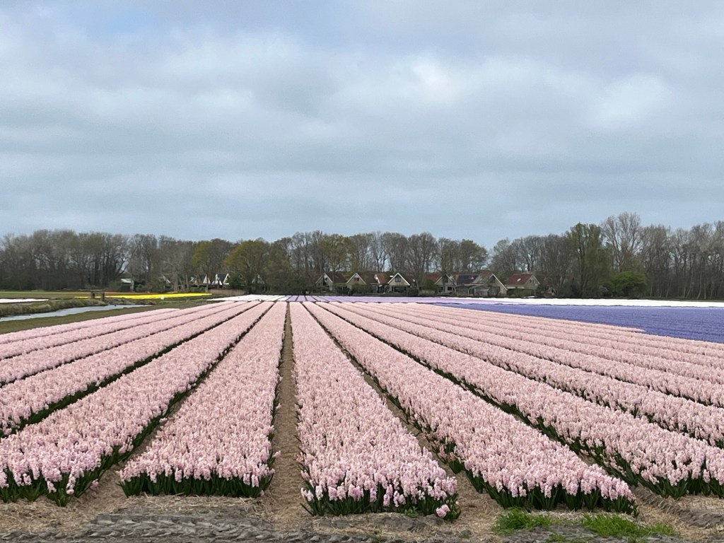
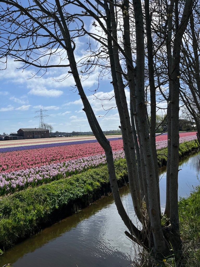
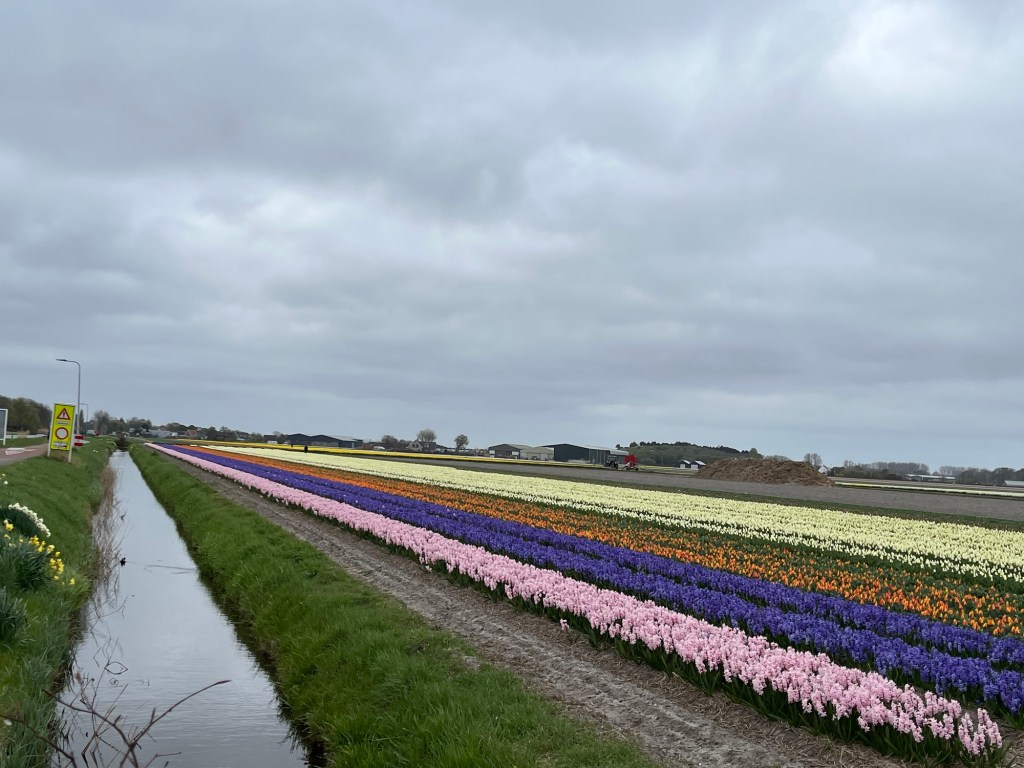
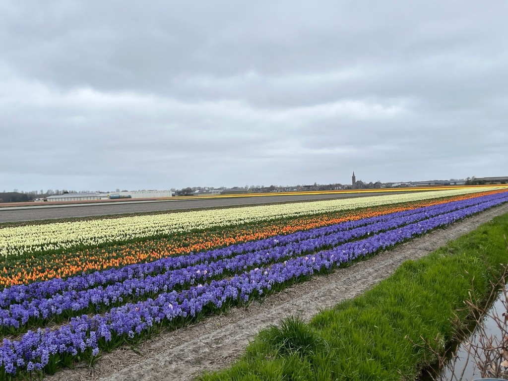
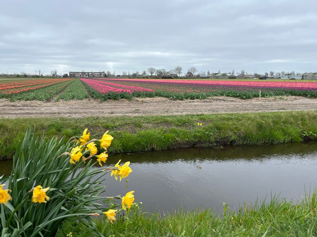
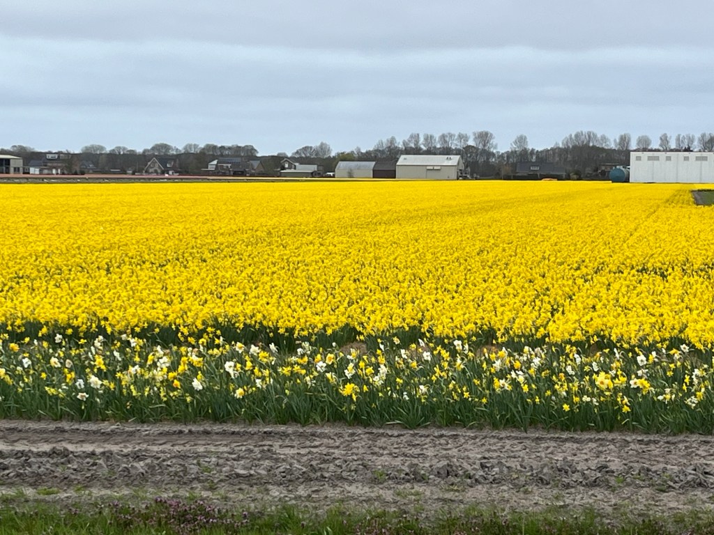
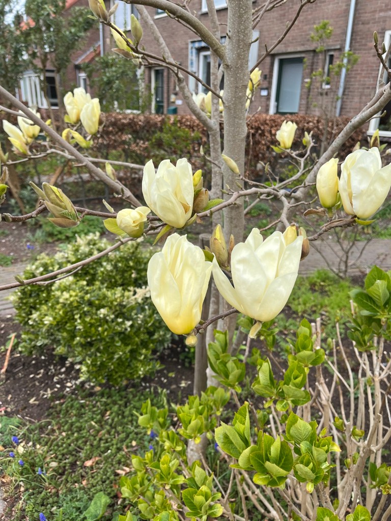
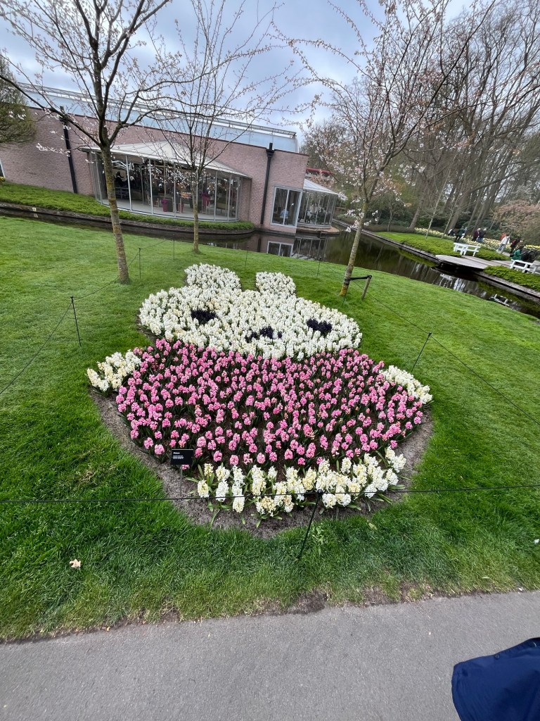
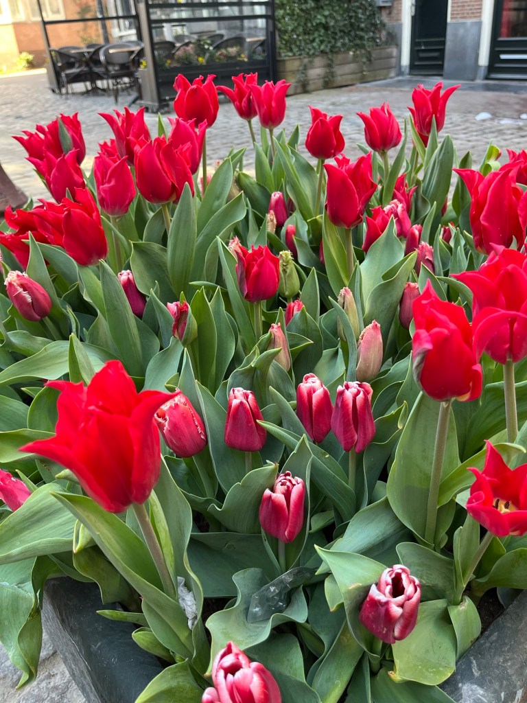
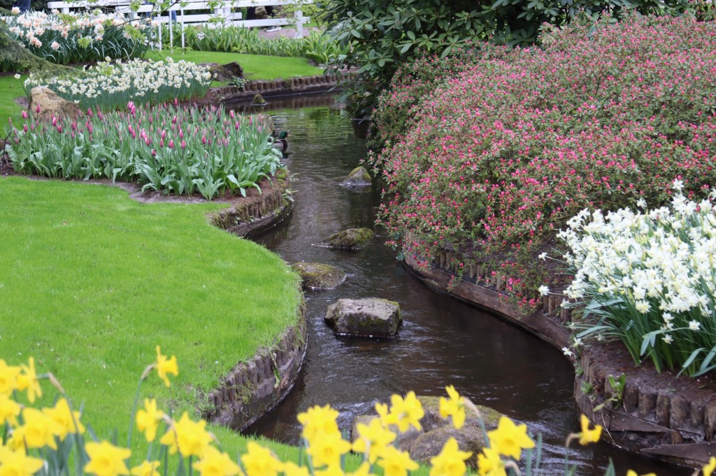
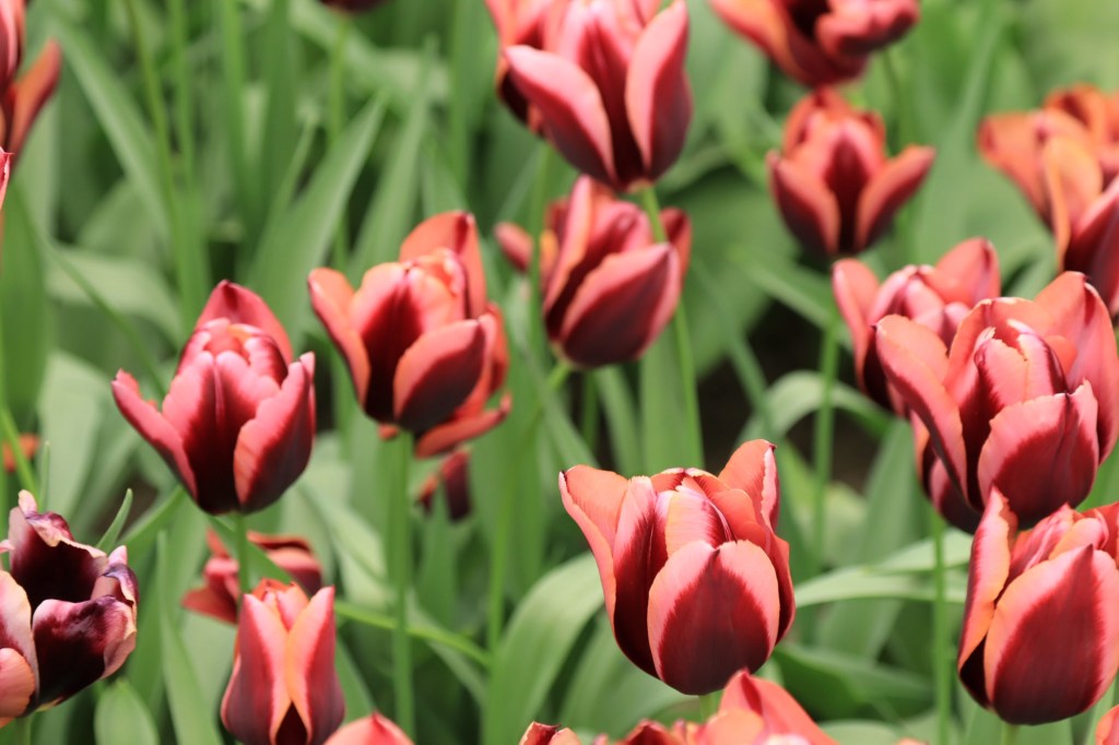
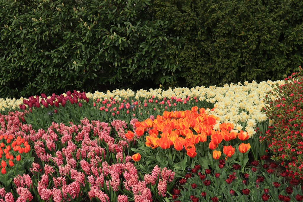
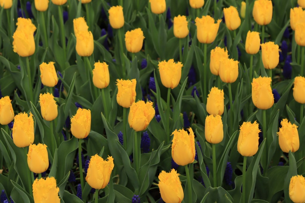
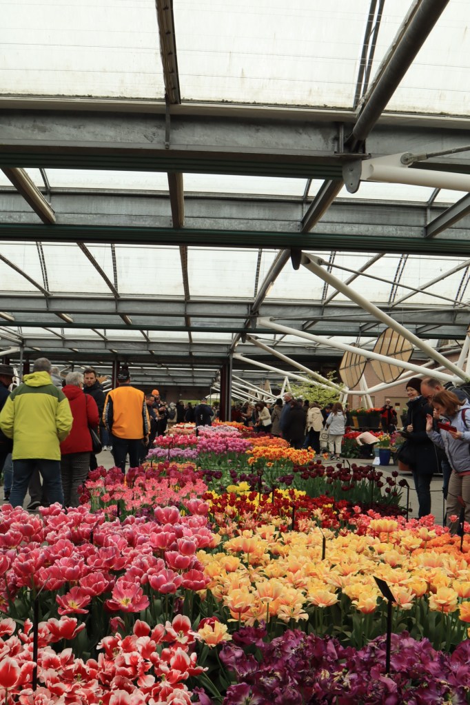
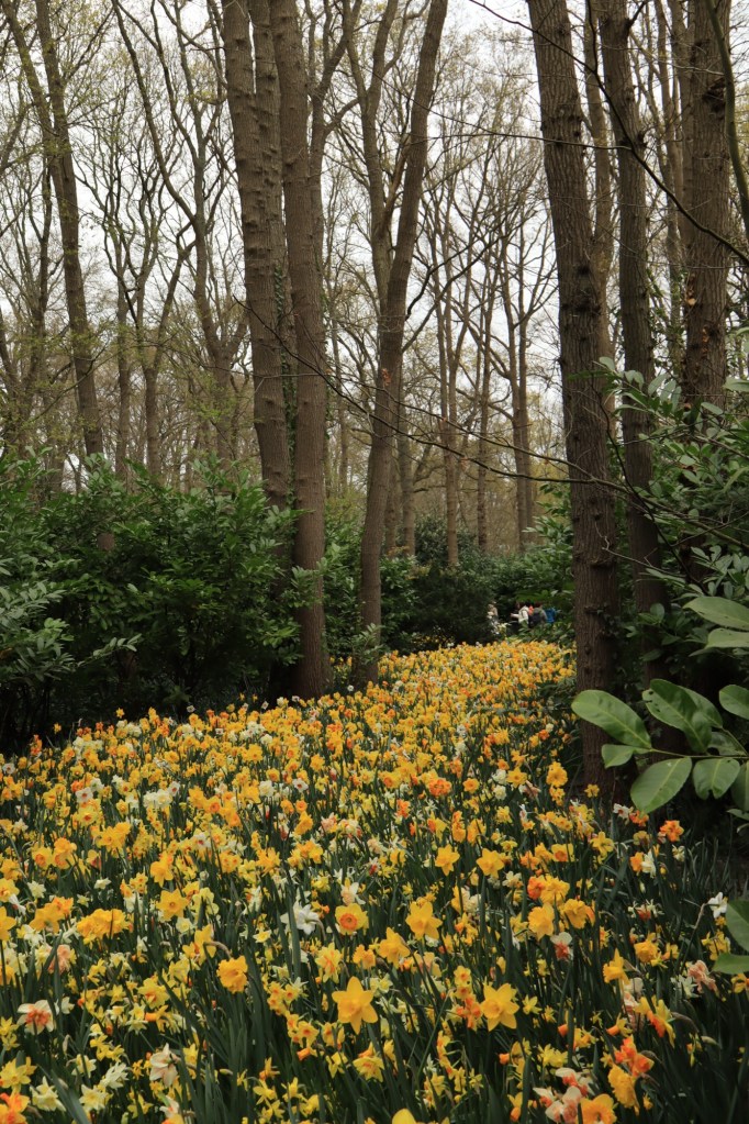
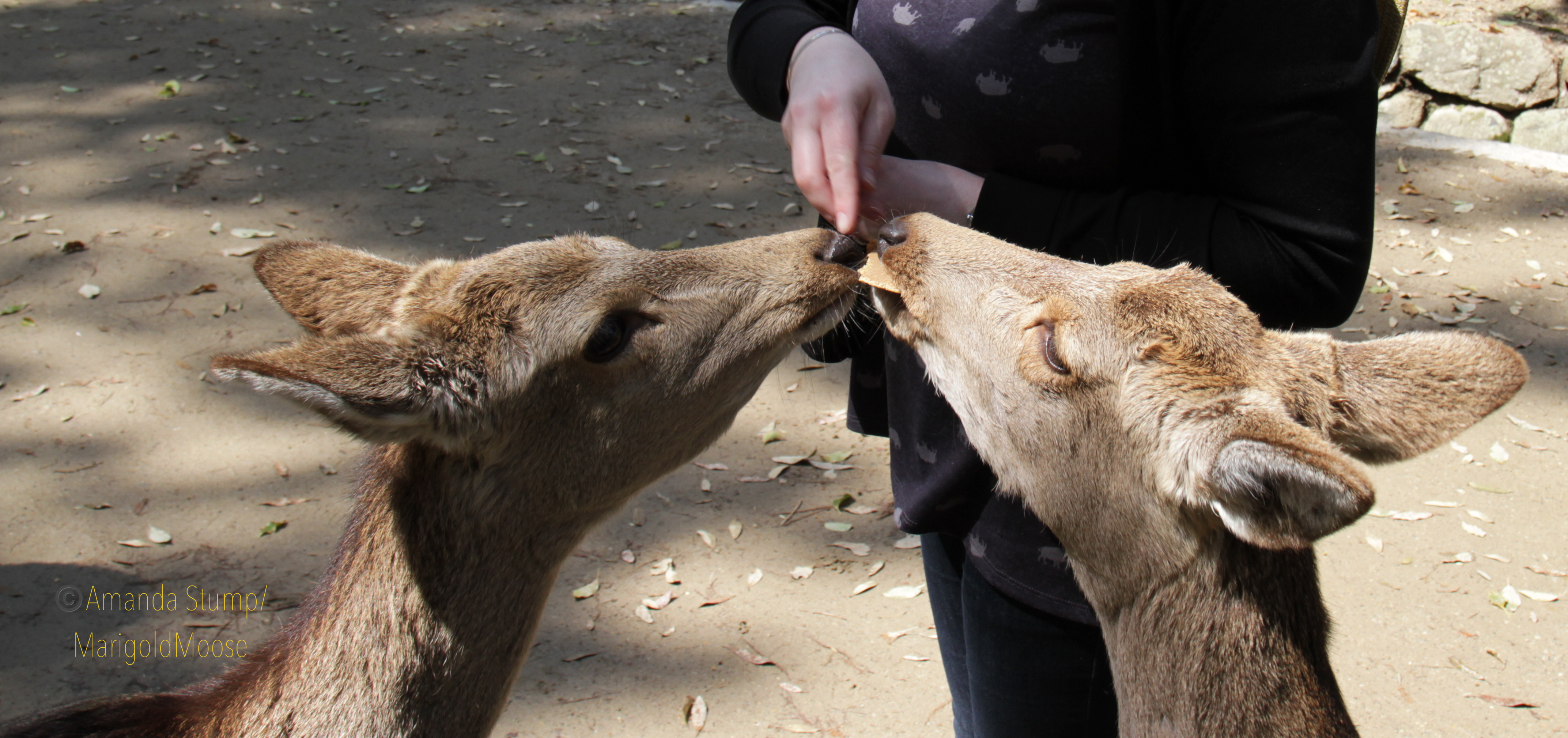
We took a spring trip to the Netherlands that was timed perfectly to see oodles of flowers! We biked all over (highly recommended, the country is set up for biking and no one tries to run you off the roads). These pictures were taken south of Haarlem and on to the Keukenhof. The Keukenhof is probably the most famous flower park.
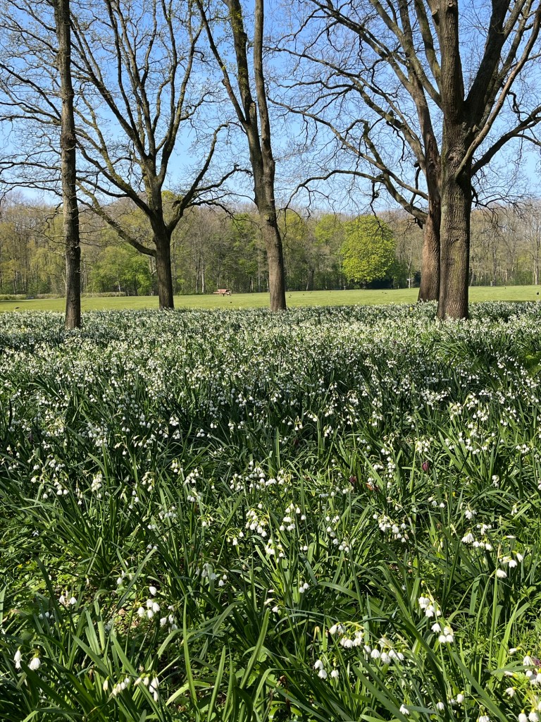
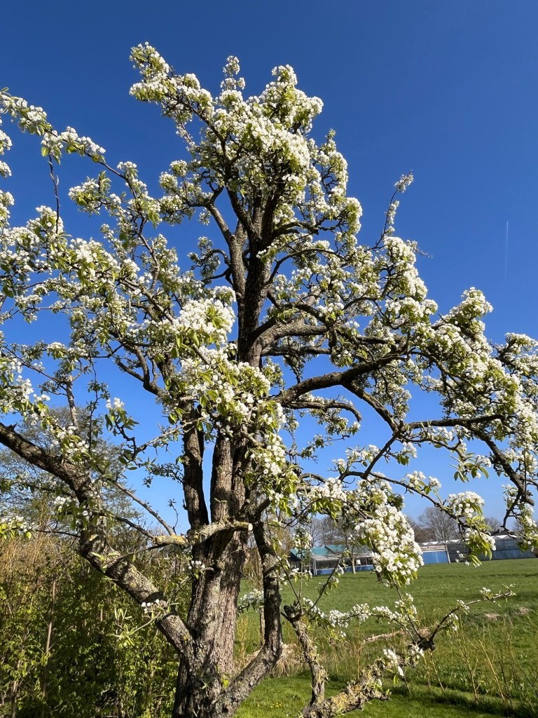
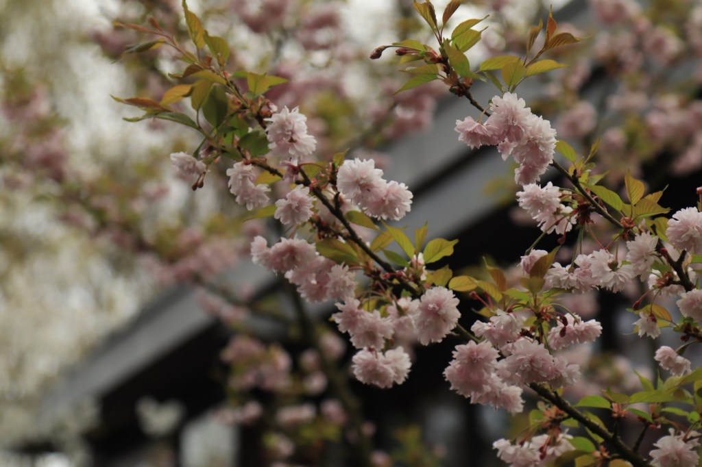
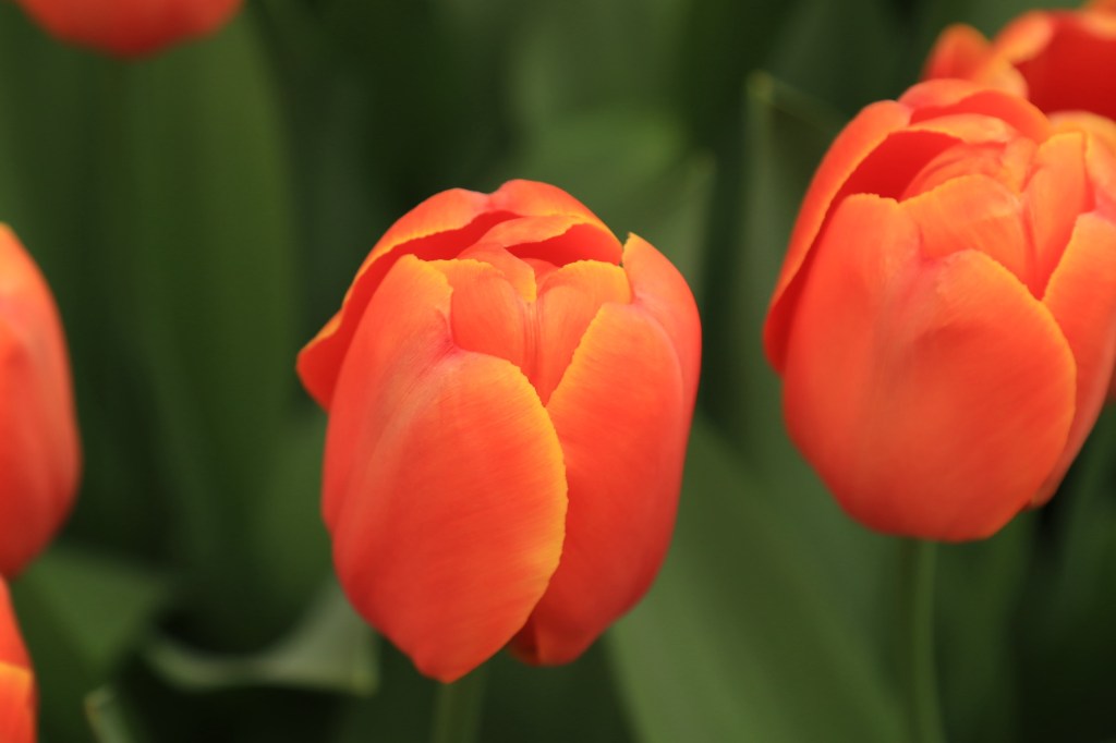
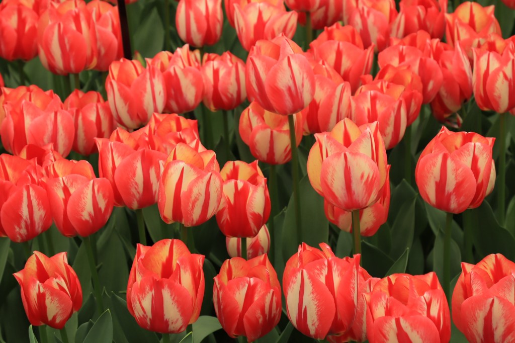
Hyacinths! The air smelled amazing.More hyacinth fields.Orange tulips, my favorites!More hyacinth Even more hyacinth Tulips. Most of these fields are harvested shortly after bloom and the bulbs sold/exported. Tulips. Some weren’t blooming quite yet.Hyacinth and tulipsMore hyacinth and tulips Cute little daffodils by a tulip field Weeding robot! DaffodilsDaffodilsAmsterdam Forest and snowdropsCherry treeIn the Tulip Museum in AmsterdamI have never seen a yellow tulip tree before!Miffy! At the Keukenhoff. At the Keukenhof Happy duck at the Keukenhof Keukenhof Keukenhof Keukenhof Keukenhof Greenhouse at the Keukenhof Flower riverDaffodil riverThis is what geeets you as you walk into the Keukenhof Of course I found the Sakura! KeukenhofInteresting tulip variety Keukenhof Keukenhof
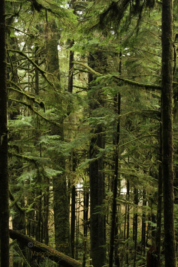
The Olympic Peninsula in Washington is such a unique and beautiful area. The Dagobah-like area sports beautiful waterfalls, dense trees, and ubiquitous moss. The Hoh Rainforest is a beautiful area, and has some interesting wildlife, including the Roosevelt elk.
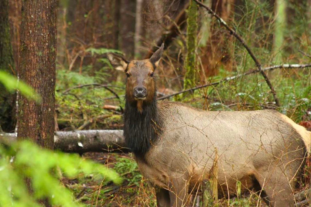
Roosevelt elk (Cervus elephaus roosevelti) is the largest of the 4 subspecies of elk. There is a large population in the Hoh rainforest, as well as a smaller population in Alaska near Kodiak Island (the Alaskan elk originate from 8 Hoh rainforest elk calves that were transplanted in the late 1920s to replenish a historic population; an additional herd was sent north again in the 1980s). Roosevelt elk tend to have darker hair than Rocky Mountain elk and larger antlers. Their name comes from President Theodore Roosevelt, who designated the Hoh rainforest area a National Monument in the early 1900s to protect the elk herds in the area. The National Monument later became Olympic National Park.
We saw this doe (oops, they’re called cows if they’re elk, apparently) from our car, it was a complete chance encounter. I was hoping to see some of the herd, and after hiking for a couple hours we decided the rain was getting too heavy and called it for the day. Just after we packed up and started driving, we turned a corner and saw this elk standing on a hillside. You can see her coat is pretty soaked from the rain. As we saw her in the spring, I have to wonder if she was pregnant or just very well-fed (there’s a lot of vegetation for them to graze in the rainforest!) She gave us a couple seconds of viewing before she went on her way. She definitely was stockier than the Rocky Mountain Elk I’m used to seeing.
Moss-covered trees in the Hoh rainforest.
The Hoh rainforest is about 4 hours west of Seattle. It’s not the easiest area to access, but definitely worth seeing especially if you’re heading back east from the coast. As it’s a rainforest, it gets almost continual rain in the later fall through early spring. We went in April and it was pleasant temperatures, but yes, lot of rain.
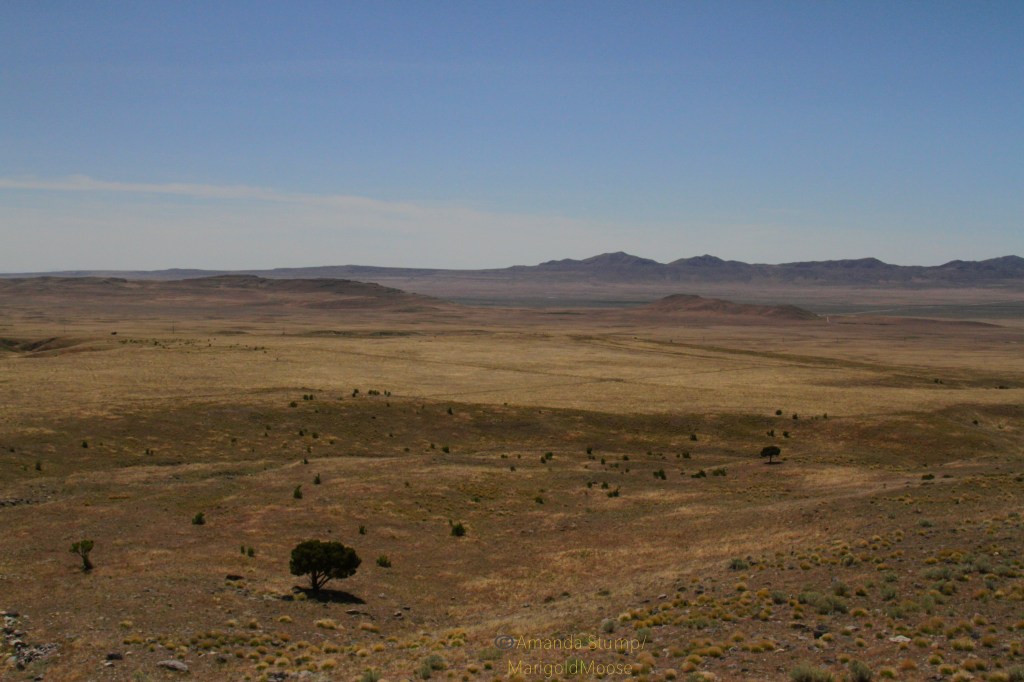
The Utah West Desert: perfect for social distancing.
Out on the border of the west desert in Utah, you’ll see some odd things: the salt flats, the Dugway bombing range scars, and strange plaques. This modified cairin and plaque in the Grassy Mountains were accessed by dirt bike; there are some nearby roads (primitive, “roads” is used loosely) on BLM land. This area is open for recreation: just on the west side of the Grassy Mountains is the Dugway proving grounds. Don’t wander into Dugway, aka Area 52 (as a former colleague and former Dugway employees tells me). This site used to be a test site for chemical weapons, though that was stopped years ago (check out the Dugway Sheep Incident for an incident involving Dugway in the 1960s).
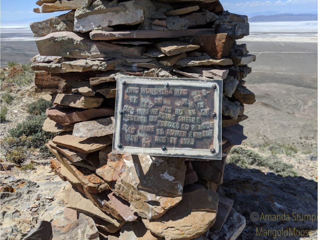
The plaque in the Grassy Mountains.
Anyway, the plaque is definitely not anything official. It reads “This monument was made by Geo [George] Davis Bower in Dec 1895 herding sheep for Deseret Livestock Co plaque was made by Bower family put on Aug 15 1973.”
The map below shows the I-80 Grassy Mountains rest stop, the mountains directly north are the Grassy Mountains themselves. The marker is in the upper 1/3 of the mountains on the west side.
I was curious about this, so I sent an email to the Research Center of the Utah State Archives & Utah State History. The response was quick, and they’re very helpful and nice! They have no record of an official monument or plaque on the site, but they did find a young George Davis Bower on the 1880 census record for Croydon, Morgan, Utah (line 21 below). Also, there may be some evidence of polygamy in the census below. Three women heads of households with young children and the same last name (lines 9-18 below). This was in 1880, and Utah wasn’t granted statehood until early 1896 on the condition polygamy be outlawed. So, not illegal at this time, but still interesting. Utah’s late statehood was mainly due to the resistance to giving up polygamy.
They also sent me a bit of info on the Deseret Livestock Company, which was (and is) owned by the LDS Church. They had Mainly sheep, and now it seems another area owned by the same company is a bird refuge out in eastern Utah (according to the Audubon Society). The area out by this plaque was the Skull Valley Winter Range. The company wasn’t incorporated until 1891, so this monument must have been placed before it was “ officially “ a company. The Skull Valley Range was apparently purchased from the Iosepa Ranch in 1917 (so really this plaque may be off on dates or who actually owned the land when the monument was built). Iosepa is now a ghost town of a Hawaiian Mormon settlement. The town was actually deserted in 1917, when the Iosepa Ranch was also bought out. The area is really harsh, and it’s pretty easy to see why crops didn’t grow well before widespread irrigation was available. I have not been to Iosepa yet, and there’s not much of the buildings left. There is a monument and a cemetery that is still kept up by descendants, however.
For more information on the Deseret Livestock Company, I was sent this link to a digital book. If you happen to know anything about this area or monument/plaque please let me know! I’d love to learn more. Thanks for reading! I’ll update here if I learn any more.
Saw this little guy near the Poas Volcano in Costa Rica. I believe it’s a wasp, but I’m not sure on the species. I can ID animals well, but not always insects. If anyone knows please fill me in! 💜


 Saw this little guy near the Poas Volcano in Costa Rica. I believe it’s a wasp, but I’m not sure on the species. I can ID animals well, but not always insects. If anyone knows please fill me in! 💜